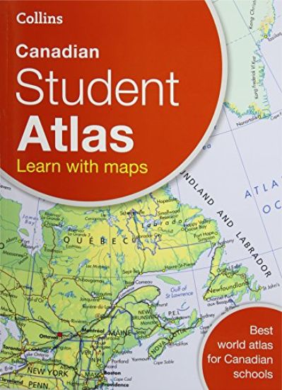
Prepared specifically to support social studies, map skills, geography skills plus history and heritage topics at upper primary and lower secondary levels throughout Trinidad and Tobago.
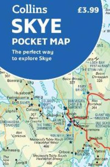
Handy little full colour Collins map of Skye with a high level of detail. Clear mapping of the Isle of Skye showing the road network, ferries and places of interest. Map at a scale of 1:175 000 (3 miles to 1 inch).
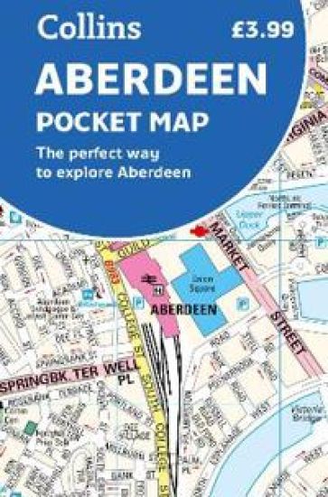
Handy little full colour Collins map of Aberdeen with a high level of detail. Clear mapping of the central area extending to the airport and along the coast, with all tourist locations. Map at a scale of 1:10 725 (5.8 inches to 1 mile).