Covington/alleghany Highlands, G.w. & Jefferson National Forests
National Geographic Maps
National Geographic Maps
2012
kartta, viikattu
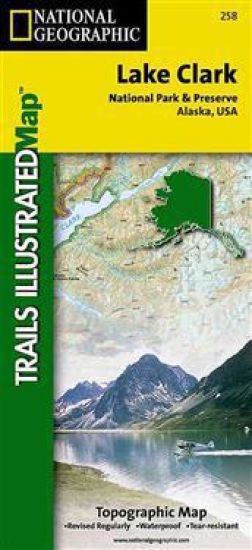
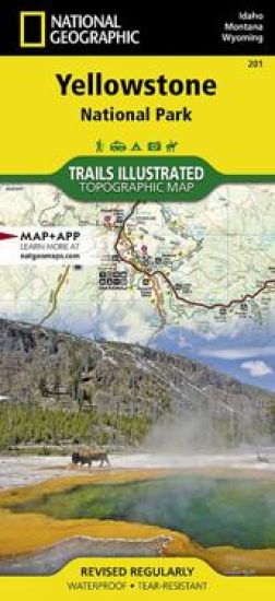
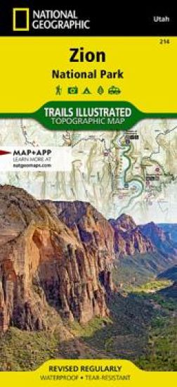
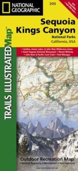
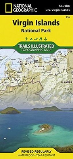
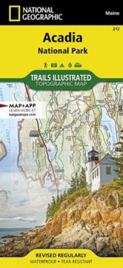
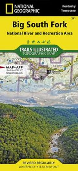
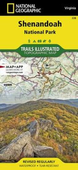
National Geographic's Trails Illustrated Maps are the most detailed and up-to-date topographic recreation maps available for US National Parks, National Forests and other popular outdoor recreation areas. A necessity for exploring the outdoors, each map is printed on waterproof, tear-resistant material. They also contain key safety and contact information, GPS and compass coordinates, Leave No Trace ethical guidelines and hundreds of points-of-interest, including scenic viewpoints, campgrounds, boat launches, swimming areas, marine sanctuaries and wildlife refuges.