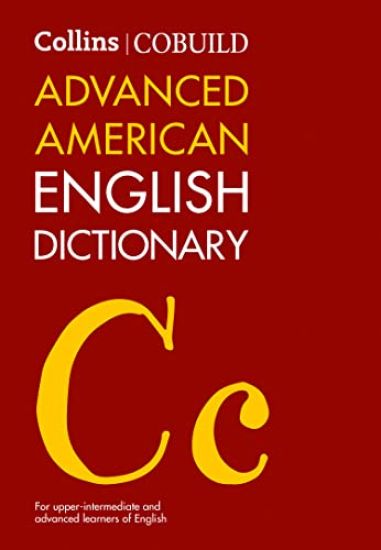
Collins COBUILD Advanced American English Dictionary
HARPERCOLLINS PUBLISHERS
2023
sidottu
This new third edition of the Collins COBUILD Advanced American English Dictionary has been revised and updated to include up-to-date coverage of today's English in a clear, attractive format. This dictionary is ideal for upper intermediate and advanced learners of American English. It covers all the words, phrases, and idioms that students need to learn and master to be able to speak and write effective English. With full-sentence definitions written in simple, natural English, this dictionary is easy to use and understand. Thousands of examples, taken from the 4.5-billion-word Collins Corpus, show learners how the words are used in authentic contexts. Additional information is provided throughout to help learners improve their knowledge of collocation, etymology, and synonymy. Informative and relevant vocabulary panels show how words are used in a range of everyday contexts. In addition, this dictionary offers learners guidance on how to communicate effectively in American English. The Language in Use supplement provides a wealth of invaluable information on how to write and speak English for different purposes using the appropriate language, style, and tone. Resources and activities to help learners make the most of the dictionary are available for free online on www.collins.co.uk/eltresources. The Collins COBUILD Advanced American English Dictionary provides invaluable and detailed guidance on the English language, and is the complete reference tool for learners of American English.