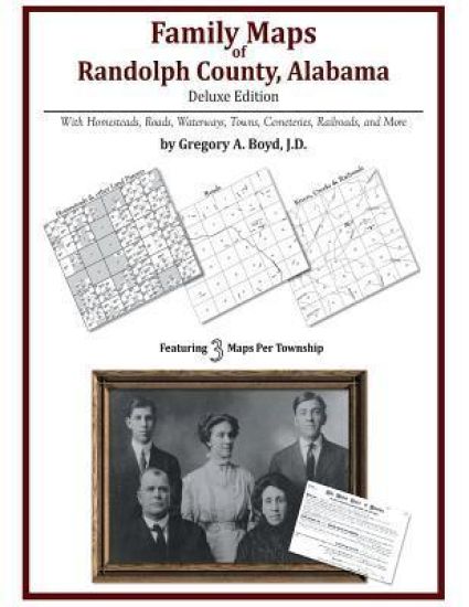
Locating original landowners in maps has never been an easy task-until now. This volume in the Family Maps series contains newly created maps of original landowners (patent maps) in what is now Randolph County, Alabama, gleaned from the indexes of the U.S. Bureau of Land Management. But it offers much more than that. For each township in the county, there are two additional maps accompanying the patent map: a road map and a map showing waterways, railroads, and both modern and many historical city-centers and cemeteries. Included are indexes to help you locate what you are looking for, whether you know a person's name, a last name, a place-name, or a cemetery. The combination of maps and indexes are designed to aid researchers of American history or genealogy to explore frontier neighborhoods, examine family migrations, locate hard-to-find cemeteries and towns, as well as locate land based on legal descriptions found in old documents or deeds. The patent-maps are essentially plat maps but instead of depicting owners for a particular year, these maps show original landowners, no matter when the transfer from the federal government was completed. Dates of patents typically begin near the time of statehood and run into the early 1900s. 326 pages with 71 total maps What's Mapped in this book (that you'll not likely find elsewhere) . . . 6708 Parcels of Land (with original landowner names and patent-dates labeled in the relevant map) 46 Cemeteries plus . . . Roads, and existing Rivers, Creeks, Streams, Railroads, and Small-towns (including some historical), etc. What YEARS are these maps for? Here are the counts for parcels of land mapped, by the decade in which the corresponding land patents were issued: DecadeParcel-count 1830s609 1840s495 1850s2878 1860s1806 1870s95 1880s380 1890s284 1900s98 1910s34 1920s9 1950s3 1990s1 What Cities and Towns are in Randolph County, Alabama (and in this book)? Almond, Ava, Bacon Level, Barrett Crossroads, Bethel, Big Springs, Blake, Broughton, Butlers Mill, Cambridge, Cavers Grove, Cedron, Center Chapel, Center West, Christiana, Concord, Corbin, Corinth, Corinth, Cornhouse, Curt, Dickert, Dingler, Folsom, Forester Chapel, Foster Crossroad, Friendship, Fuller Crossroad, Gold Ridge, Graham, Harmon Crossroads, Hawk, Haywood, High Pine, High Shoals, Hobson, Jordan Chapel, Kaylor, Lamar, Lee Crossroads, Liberty, Liberty Grove, Lime, Lofty, Louina, Malone, Midway, Milner, Moores Crossroads, Morrison Crossroad, Mount Olive, Mount Pleasant, Mount Zion, Napoleon, New Hope, Newell, Ofelia, Omaha, Paran, Peace, Peavy, Pine Hill, Pine Tuckey, Pooles Crossroad, Potash, Providence, Roanoke, Rock Mills, Rockdale, Rocky Branch, Sewell, Smyrna, Springfield, Swagg, Taylors Crossroads, Tennant, Union, Wadley, Waldrep, Wedowee, Wehadkee, West, White Crossroads, White Signboard Crossroad, Wildwood, Woodland