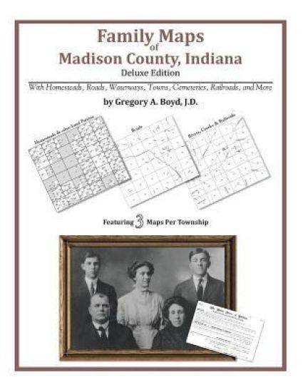
Locating original landowners in maps has never been an easy task-until now. This volume in the Family Maps series contains newly created maps of original landowners (patent maps) in what is now Madison County, Alabama, gleaned from the indexes of the U.S. Bureau of Land Management. But it offers much more than that. For each township in the county, there are two additional maps accompanying the patent map: a road map and a map showing waterways, railroads, and both modern and many historical city-centers and cemeteries. Included are indexes to help you locate what you are looking for, whether you know a person's name, a last name, a place-name, or a cemetery. The combination of maps and indexes are designed to aid researchers of American history or genealogy to explore frontier neighborhoods, examine family migrations, locate hard-to-find cemeteries and towns, as well as locate land based on legal descriptions found in old documents or deeds. The patent-maps are essentially plat maps but instead of depicting owners for a particular year, these maps show original landowners, no matter when the transfer from the federal government was completed. Dates of patents typically begin near the time of statehood and run into the early 1900s. 326 pages with 92 total maps What's Mapped in this book (that you'll not likely find elsewhere) . . . 3986 Parcels of Land (with original landowner names and patent-dates labeled in the relevant map) 358 Cemeteries plus . . . Roads, and existing Rivers, Creeks, Streams, Railroads, and Small-towns (including some historical), etc. What YEARS are these maps for? Here are the counts for parcels of land mapped, by the decade in which the corresponding land patents were issued: DecadeParcel-count 1820s34 1830s1124 1840s189 1850s978 1860s185 1870s31 1880s188 1890s465 1900s164 1910s133 1920s261 1930s30 1940s17 1950s87 1960s76 1970s7 1980s5 1990s9 2000s2 What Cities and Towns are in Madison County, Alabama (and in this book)? Ashland, Berkley, Big Cove, Bobo, Brandontown, Bravo, Brookhurst, Browns Corner, Brownsboro, Buckhorn, Bucks Canyon, Burrows, Butler Mill, Carter Grove, Cedar Point, Chase, Chelsea, Cherrytree, Clarkdale, Cluttsville, Deposit, Dug Hill, Edgemont, Elko, Elkwood, Elon, Fairview, Fannings Crossing, Farley, Fisk, Gladstone, Greenfield, Gurley, Haden, Harvest, Hazel Green, Hillsboro, Hobbs Island, Hoover, Huntsville, Incline, Indian Hills, Jeff, Johnson, Keys Mill, Lily Flagg, Lincoln, Lincoya, Longwood, Lowe (historical), Madison, Madison Crossroads, Maple Hill, Maplewood, Mayfair, Maysville, McCaleb Mill, Mercury, Meridianville, Monrovia, Moontown, Moores Mill, Mount Lebanon, Nebo, New Haven, New Hope, New Market, New Sharon, Normal, North Daye Hill, Northwood, Norton, Oak Grove, Oak Park, Old Monrovia, Owens Cross Roads, Pea Ridge, Piedmont, Plevna, Rainbow, Ready Crossing, Ridgewood, Roseboro, Ryland, Saint Clair Store, Sandhurst Park, Sherwood Park, Skinem, Stag Run, State Line, Steele Crossing, Stone Ridge, Sublett Mill, Sulphur Springs, Terry Heights, Three Forks, Toney, Triana, Union Grove, Union Park, University Park, Vaughn Corners, Walker Woods, West Huntsville, Whitesburg