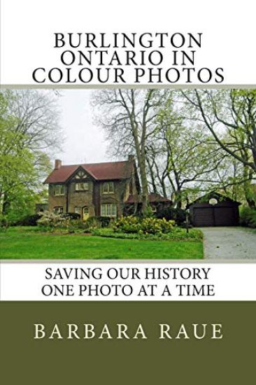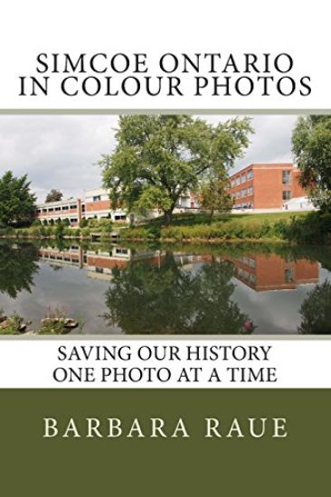
Simcoe Ontario in Colour Photos: Saving Our History One Photo at a Time
Barbara Raue
On Demand Publishing, LLC-Create Space
2014
nidottu
Simcoe is a town in Southwestern Ontario located near Lake Erie at the junction of Highways 3 and 24, south of Brantford. From Hamilton take Highway 6 to Simcoe.Simcoe was founded in 1795 by Lieutenant-Governor John Graves Simcoe. He gave a grant to Aaron Culver, one of the earliest settlers, with the condition that he was to build mills. In 1801 he built a saw mill and a few years later added a grist mill. The combined operation known as Union Mill was instrumental in the development of Simcoe. By 1812 a hamlet had grown up around the mills. The mills were burnt and the adjacent houses looted by U.S. troops in 1814. In 1819-23, Culver laid out a village which he called Simcoe. The mill was rebuilt by Duncan Campbell around 1825. By the 1870s, Nathan Ford operated a large flour mill, grain elevator and distillery on this site. The last water-powered mill on this site ceased operations in 1928.The book includes a few pictures taken in Colborne, Ontario.