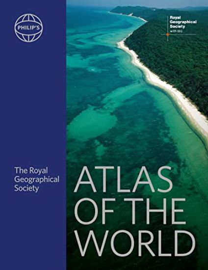
Philip's RGS Atlas of the World
Institute Of British Geographers
Octopus Publishing Group
2023
sidottu
Packed with the latest statistics and filled with clear cartography, the Philip's RGS Atlas of the World gives a striking view of the Earth's surface and its many complexities and treasures."This atlas brilliantly captures what a precious and impressive place we live in." Michael Palin" Beautifully put together, lavishly laid out. In a word - sumptuous!" Tim Marshall author of Power of Geography"A veritable encyclopaedia of geographic and demographic information, profusely illustrated... Extraordinary." The New York TimesNearly 200 pages of fully revised ultra-clear maps and satellite imagery reveal the full shape of Earth's surface.This edition includes the special feature, 'Biodiversity on the Brink', which examines threats such as habitat destruction and climate change. The extensive front section contains a Gazetteer of Nations that has been comprehensively checked and updated to include recent economic and political changes. New for this edition is an illustrated guide on the whole world's essential physical facts - the highest peaks, longest rivers, deepest oceans, etc - an at-a-glance reference for all.Updated World Geography section includes new maps on urbanization, vital health issues (alcohol consumption and prevalence of tobacco use). World city plans: 70 of the world's greatest cities shown in detail with locations of prominent public buildings and largest museums and galleries.