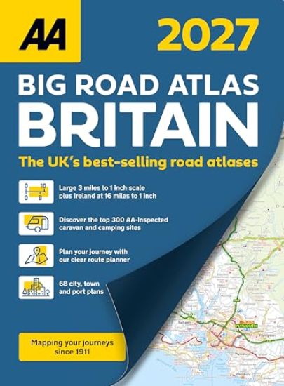
AA Big Road Atlas Britain 2027
AA Publishing
2026
nidottu
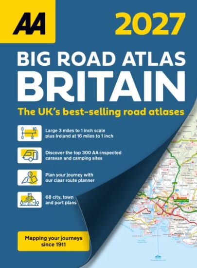
Expertly designed for travellers looking for a large scale A3 atlas, this atlas is easy-to-use and includes the British national grid shown throughout, plus a map of Ireland. Each page is titled with its geographical location so you can turn to the page more easily. Discover wonderful scenic routes and tourist attractions, including National Trust, English, Scottish, Welsh and World Heritage sites, as well as other hard-to-find places and useful locations. A district map provides more road detail around London and shows the latest emission zones, and there are 17 port plans and 51 town plans to help you find your way around the most busy and built-up areas, navigating one-way streets and finding places to park. A useful map of Ireland is also included at 16 miles to 1 inch scale showing essential detail and the main road network. Further content includes a full-colour admin map showing all the latest unitary authority areas, a distance chart, motorway maps of the M25 and M6, plus a clear 4-page route planning map. The atlas mapping includes helpful information for travelling throughout Britain including places to visit, park & ride locations, over 240 service areas,electric super hub charging points and ferry routes.