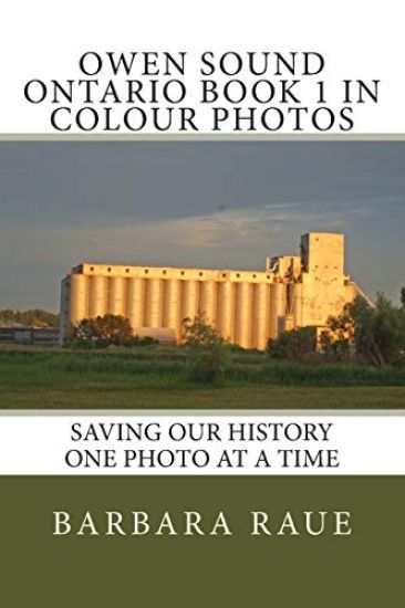
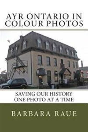
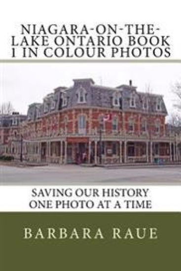
Guelph Ontario Book 1 in Colour Photos: Saving Our History One Photo at a Time
Barbara Raue
Createspace Independent Publishing Platform
2015
nidottu
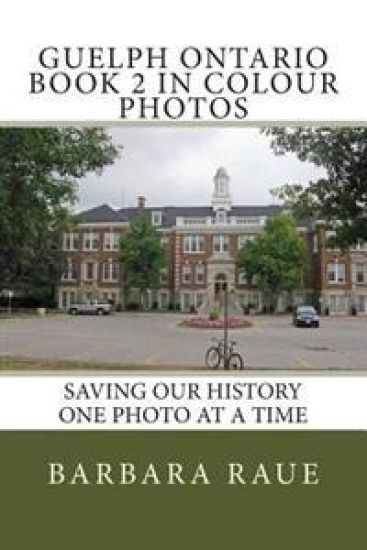
Guelph, known as "The Royal City, is located 100 kilometers (62 miles) west of downtown Toronto at the intersection of Highways 6 and 7. Guelph was founded on St. George's Day, April 23, 1827, the feast day of the patron saint of England. The town was named to honour Britain's royal family, the Hanoverians who were descended from the Guelfs, the ancestral family of George IV, the reigning British monarch.John Galt designed the town to resemble a European city centre with squares, broad main streets and narrow side streets, resulting in a variety of block sizes and shapes. The street plan was designed to resemble a lady's fan with many of the streets forming triangles (the segments of the fan).The first cable TV system began in Guelph with their first broadcast being the coronation of Queen Elizabeth II in 1953. The Speed and Eramosa Rivers flow through the city.Riverside Park is an 80-acre park built around a portion of the Speed River that runs through Guelph. The park opened in 1905.Our family lived continuously in Guelph from the time I was four years old until 1969. Guelph was an often returned to place for our family from 1948 to 1954; whenever Dad was out of work, he would head back to Guelph where Mom's cousin and husband, Rosa and Carl Saillian, lived and had their Armenian Rug cleaning and installation business. We often watched Uncle Carl shampooing carpets in the large garage beside their house on Stevenson Street. One year when Dad was out of work, Dad dug out the basement under the Saillian's home to make a recreation room; Dad was a hard worker and completed the work much quicker than they expected. I attended S.S. No. 1 School from 1957 to 1963, then I was shuffled around to a few schools to complete Grades 7 and 8. I attended John F. Ross C.V.I. for high school. Riverside Park was a place we often visited for picnics and swimming. We lived across the road from the Ontario Reformatory (O.R.) grounds and we often saw a prison guard with a group of prisoners keeping the lawns looking beautiful. Since the reformatory moved to Milton, the grounds are in poor shape with animals digging tunnels through the grass. We swam in the lake at the O.R. I have many happy memories of growing up in this city.