Brooklyn-based Eve Sussman founded the Rufus Corporation, an ad hoc group of artists, dancers, actors and musicians who create videos, photographs and live events, in 2003. This volume compiles film stills from two works for which Sussman and her collaborators are most known. "89 Seconds at Alc zar" (2004) is a high-definition video tableau inspired by Diego Vel zquez's painting "Las Meninas" (1656). The piece focuses on the 89 seconds when the Spanish royal family and their courtiers would have been in the exact configuration portrayed in the painting. The Rape of the Sabine Women--featuring a mesmerizing score composed by Jonathan Bepler--is an allegorical video that conflates the myth of Romulus' founding of Rome with David's painting "Intervention of the Sabine Women" (1796-99). It is set in an idealized, cinematic version of the 1960s that includes G-men and a decadent party in a chic International Style summer home.
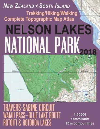
Updated edition. Complete map of the Nelson Lakes National Park & surrounding area covering great walks and wonderful tramping/hiking trails in the area. Detailed topographic map 1:50.000 & 20 meter contours for hiking and trekking, printed as an atlas book (with overlapping pages).Robert Ridge Route to Angelus Hut, on the ranges between Lakes Rotoiti and Rotoroa; Flower Brothers Walk; Lake Rotoiti Circuit; Waiau Pass, linking Lewis Pass and Nelson Lakes National Park; Pourangahau/Mount Robert; St Arnaud Range Track; Travers-Sabine Circuit; Whisky Falls, etc.20 meter contour lines, road network, trails & paths, transportation, food, campsites, shelters, guest houses & hotels.Mercator projection with both UTM and WGS84 coordinate grids.The map scale of 1:50000 (1 cm = 500 meters) provides a wealth of detail while keeping low the weight of the atlas itself. The large page format of 8.5x11in minimizes page count and along with an overlapping map design allows for comfortable navigation. The details included in the topographic maps of this atlas were specifically selected to be useful for trekkers, hikers and walkers of all interests, and make it easy to plan and enjoy both short excursions and hikes as well as long multi-day adventures along the main marked routes and/or adjacent trails and paths, which are also shown on the maps.With this ultralight atlas you will always have a detailed, reliable, information-rich, battery-independent, shatter-proof map for your adventure.