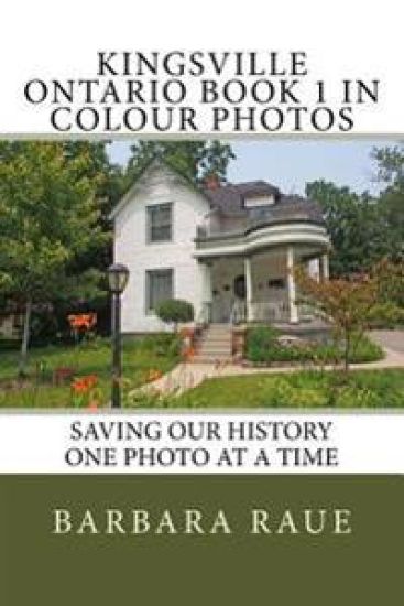
Kingsville Ontario Book 1 in Colour Photos: Saving Our History One Photo at a Time
Barbara Raue
Createspace Independent Publishing Platform
2016
nidottu
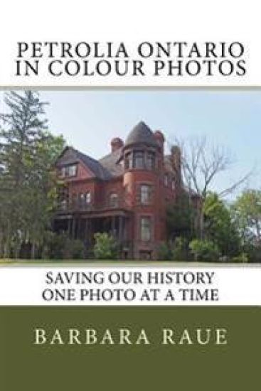
Kingsville is located in Essex County in southwestern Ontario, west of the Leamington, south of Lakeshore, southeast of Essex. It is primarily an agricultural community nestled along the north shore of Lake Erie. The terrain is generally flat, and consists of a mixture of various rocks, sand and clay. The town is about 570 feet above sea level.Kingsville is home to the Jack Miner Bird Sanctuary. Jack Miner was awarded The Order of the British Empire (OBE) for his achievements in conservation in the British Empire. Jack Miner is considered "the father of the conservation movement on the continent".The Town of Kingsville is rich in history and Victorian era architecture.