This is the paperback with black and white photos. For the paperback with full-color photos, see ISBN-10: 1507886780 or ISBN-13:978-1507886786.Wouldn't you love to go on an adventure and find that it was more than what you expected? That's what happened to Jane V. Blanchard when she walked the Hadrian's Wall Path, and what she wants to share with you in the this book. Join her as she walks eighty-four miles across northern England, explore the sites and legends associated with this historical wall, and see if you too can journey back with her to the time of the Romans, the Brigantes (powerful Celtic British tribes) and the Picts (ferocious Celtic Scottish tribes).Whether you enjoy trekking or armchair-adventures, Hadrian's Wall Path: Walking into History is an exciting journey. This book from the "Woman on Her Way" series takes you along the ancient Roman frontier between England and Scotland. Explore this World Heritage Site with more than 130 photos and illustrations that display the majesty of ancient Roman engineering and the beauty of the Cumbrian and Northumberlain landscapes. Learn what Roman life was like more than 2000 years ago. Enjoy walking along this imposing monument with Jane V. Blanchard as she describes in a heartfelt way, the terrain, the culture, the challenges, and her personal growth and changes.- Discover Hadrian's Wall, what it encompasses, then and now.- Learn about Roman life and what it was like living on Rome's most northern frontier.- Visualize the beauty of northern England through Jane's vivid descriptions, photographs, and illustrations.- Find out about the current English culture and lore.- Understand why so many people visit sites along the Hadrian's Wall Path.Hadrian's Wall Path: Walking into History is a finalist for the prestigious 2015 President's Award from the Florida Authors & Publisher's Association."Hadrian's Wall Path: Walking into History is a riveting, well-written chronicle of a hiking adventure across the English countryside. More importantly, it is what Jane Blanchard herself learns, that 'History becomes interesting, and it is coming alive.' Fortunately, she does this for the reader as well. I found the details to be illuminating and thought-provoking, yet simple and to the point. Some highlights of the adventure: Once Brewed, Twice Brewed; Nine Nicks of Thirlwall, King Arthur, "Bogle", mizzle and all. Highly recommended ." Maryann Burchell, South Bay Publishing LLCHadrian's Wall Path is the second book in the "Woman on Her Way" series. These books describe Jane V. Blanchard's adventures on ancient European routes or primitive wilderness trails. Travel with her as she explores new horizons and venture with her into this world's premier historic, scenic, or cultural itineraries.
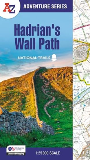
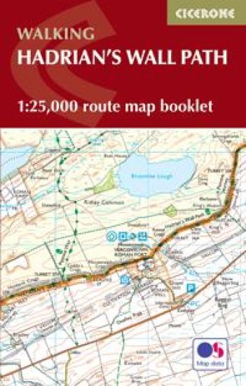
A guidebook to walking the Hadrian's Wall Path National Trail between Bowness-on-Solway in Cumbria and Wallsend, Newcastle. Covering 135km (84 miles), this historic route takes around 10 days to hike. Suitable for beginners, it nevertheless requires a reasonable level of fitness to undertake as a multi-day walk. The route is described in 10 stages between 8 and 16km (5–10 miles) in length and in both directions, west–east and east–west. An optional 2-stage extension through Newcastle to South Shields on the east coast is also provided. Contains step-by-step description of the route alongside 1:100,000 OS mapsIncludes a separate map booklet containing OS 1:25,000 mapping and route lineHandy route summary tables, alternative walking schedules and accommodation listings help you plan your itineraryPacked with historical detail, as well as maps marking locations of Roman milecastles and other archaeological sites on and near the wallPublic transport by stage is listed for those wanting to break the trail into shorter sections
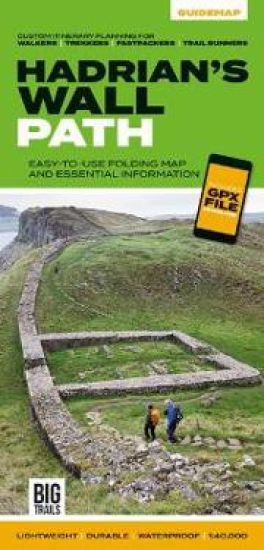
Hadrian's Wall Path Guidemap from Vertebrate Publishing is a lightweight, waterproof, durable and easy-to-use folding map with 1:40,000-scale mapping for the east to west HWP route. Includes route variations, an elevation profile and route planner, safety advice, terrain information and accommodation directory, and a GPX file download.
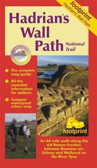
This combination of waterproof map and guide contains specially created strip maps of the route with compact, concise and essential information for walkers.
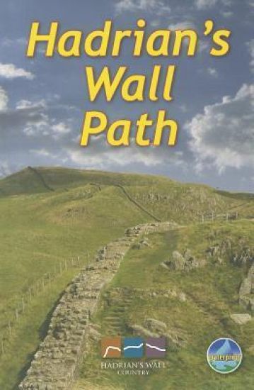
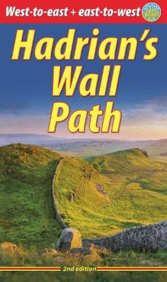
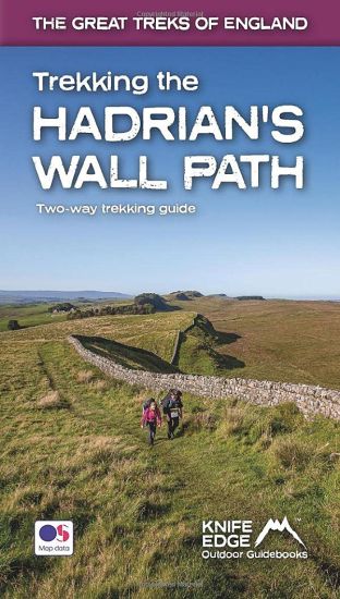
Hadrians Wall Path runs for 85 miles from coast to coast along the line of the Roman Wall completed in AD122 under the Emperor Hadrian. This National Trail crosses northern England from Irish Sea to North Sea and offers many chances to look at the forts, milecastles and interpretation centres within this UNESCO World Heritage Site. This guidebook contains all you need to plan and enjoy a classic week's walking. The route is clearly waymarked and well supported by public transport. This guidebook is almost unique in giving equal priority to walking the route from west-to-east as east-to-west. It explains clearly the pros and cons of each direction. This book provides all you need to plan and enjoy a classic week's walking in a compact package: detailed west-to-east and east-to-west route descriptions updated in mid-2025detailed mapping at 1:50,000 with miles numbered in both directionshistory and anatomy of the Wall, with details of forts and visitor centreswildlife explained and illustrated for the various habitatsinformation about public transport and travellavishly illustrated, with 100 colour photoson rainproof paper.
This popular National Trail follows the line of the Roman Wall from coast to coast across northern England, with many forts and milecastles in the World Heritage Site; background on the history, geology and wildlife, with detailed route descriptions for west-to-east and east-to-west and 100 photos; all you need for a week's walking holiday.
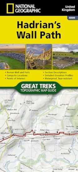
Perfect guide and map for planning your adventure along Hadrian’s Wall. Highlights of this Planning Map include: More than 20 highlighted places of interest with detailed descriptions and attractive photographs, including: the Vindolanda archaeological site, Chester’s Roman fort, and Steel Rigg viewpoint.A comprehensive index to more than 400 cities, towns and villagesA clear, visible route plotted across the mapAdvice on safety and security when travelling along the route, as well as the countryside code and the code of conduct Part of the National Trail network, this long-distance footpath covers 84 miles (135 km) along the line of Hadrian's Wall from coast-to-coast. Starting in Wallsend in Newcastle and ending in Bowness-on-Solway, this path weaves through beautiful countryside, encountering historic remains of Roman forts and milecastles, and splendid bridges. A suggested walking itinerary makes it easy for users to plan their journey along this popular route.
All the mapping you need to walk the Hadrian’s Wall National Trail between Bowness-on-Solway in Cumbria and Wallsend, Newcastle. Covering 135km (84 miles), this historic route takes around 10 days to hike. Suitable for beginners, it nevertheless requires a reasonable level of fitness to undertake as a multi-day walk. The full route line is shown on 1:25,000 OS mapsThe map booklet can be used to walk the trail in either directionSized to easily fit in a jacket pocket2-stage route extension through Newcastle to South Shields on the east coast is also shown A separate Cicerone guidebook – Walking Hadrian’s Wall Path – is also available, which includes a copy of this map booklet
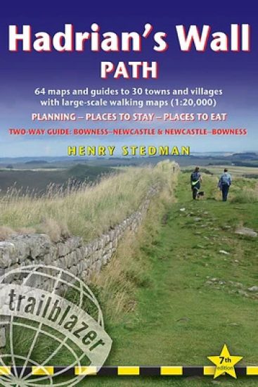
All the information you need to enjoy your hiking adventure along Hadrian's Wall Path in this fully revised 7th edition. Hadrian's Wall Path, 84 miles from end to end, follows the course of northern Europe's largest surviving Roman monument, a 2nd-century fortification built - in the border country between England and Scotland - on the orders of the Emperor Hadrian in AD122. Opened in 2003, the path crosses the beautiful border country between England and Scotland. It is the first National Trail to follow the course of a UNESCO World Heritage Site. This week-long walk is regarded as one of the least challenging National Trails. This 7th edition has been re-walked and fully updated. 8 town plans and 59 large-scale walking maps - at just under 1:20,000 - showing route times, places to stay, points of interest and much morePlus 8 stage maps and 2 overview mapsItineraries for all walkers - whether walking the route in its entirety over seven to eight days or sampling the highlights on day walks and short breaksPractical information for all budgetsWhere to stay with reviews - camping, bunkhouses, hostels, B&Bs, pubs and hotelsWhere to eat with reviews - cafes, pubs, tea-shops, restaurants, takeaways and shops/supermarketsWhat to see - historical, cultural, geographical informationDetailed street plansComprehensive public transport information - for all access points on the Hadrian's Wall PathFlora and fauna - four page full colour flower guide, plus an illustrated section on local wildlifeGreen hiking - understanding the local environment and minimizing our impact on itNewcastle city guideGPS waypoints. These are also downloadable from the Trailblazer websiteIncludes extra colour sections: 16pp colour introduction and 16pp of colour mapping for stage sections (one stage per page) with trail profiles.
All-in-one guide to walking Hadrian's Wall Path National Trail now in its 8th edition, re-walked and fully updated. Two-way edition with routes re-walked from Bowness-on-Solway to Wallsend (Newcastle) and Wallsend (Newcastle) to Bowness-on-Solway. Hadrian's Wall Path, 84 miles from end to end, follows the course of northern Europe's largest surviving Roman monument, a 2nd-century fortification built - in the border country between England and Scotland - on the orders of the Emperor Hadrian in AD122. Opened in 2003, the path crosses the beautiful border country between England and Scotland. It is the first National Trail to follow the course of a UNESCO World Heritage Site. This week-long walk is regarded as one of the least challenging National Trails. This 8th edition has been re-walked and fully updated. Printed in two-colours - follow east to west or west to east directions 8 town plans and 59 large-scale walking maps - at just under 1:20,000 - showing route times, places to stay, points of interest and much more Includes 8 stage maps and 2 overview maps Itineraries for all walkers - whether walking the route in its entirety over seven to eight days or sampling the highlights on day walks and short breaks Practical information for all budgets Where to stay with reviews - camping, bunkhouses, hostels, B&Bs, pubs and hotels Where to eat with reviews - cafes, pubs, tea-shops, restaurants, takeaways and shops/supermarkets What to see - historical, cultural, geographical information Detailed street plans Comprehensive public transport information - for all access points on the Hadrian's Wall Path Flora and fauna - four page full colour flower guide, plus an illustrated section on local wildlife Green hiking - understanding the local environment and minimising our impact on it Newcastle city guide GPS waypoints and what3words references - also downloadable from the Trailblazer website 16 pages of colour mapping for stage sections (one stage per page) with trail profiles
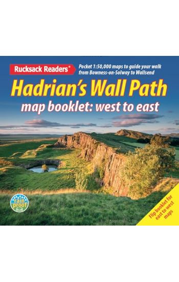
Hadrian’s Wall Path is a superb National Trail that runs for 85 miles (137 km) beside the Roman wall between Bowness-on-Solway and Wallsend, near Newcastle. Experts can't agree whether it's better to walk it from west to east or vice versa, so this booklet uniquely does both: just flip it to reverse the direction with miles correctly numbered from 0 to 85. This map booklet helps you to enjoy this classic walk in either direction or in both: route rewalked and updated in late 2025 route line more accurate than OS mapping and the official website two booklets in one, west-to-east and east-to-west custom, clear mapping at 1:50,000: no irrelevant clutter forts, milecastles and visitor centres shown includes city centre plans for Carlisle and Newcastle upon Tyne lightweight (50 grams) and small enough to slip in your pocket robust, opens flat and printed on rainproof paper.
Hadrian's Wall was one of the Romans' most ambitious structures. When completed, it ran for 73 miles between the west and east coasts of Northern England. It crossed the crags and hills of some of Britain's wildest and most beautiful terrain. The Hadrian's Wall path is one of England's official 'National Trails'. It leads you on an unforgettable journey of discovery along the route of the Wall. Discover the incredible surviving sections of the Wall and its forts, milecastles and turrets. This definitive two-way guide to the Hadrian's Wall Path contains real OS mapping at 1:25,000 and both eastbound and westbound routes are described in full. There are 14 different itineraries with schedules of 3, 4, 5, 6, 7, 8 and 9 days for walkers and runners and the guide includes both eastbound and westbound itineraries. Difficult calculations of time, distance and altitude gain are done for you. Also includes: * Extraordinary detail on the history and construction of Hadrian's Wall * Section on the unmissable forts of Hadrian's Wall * Detailed information on equipment and travelling light * Everything the trekker needs to know: route, costs, difficulty, weather, travel, and more * Full accommodation listings: the best inns, B&Bs and hotels * Information for both self-guided and guided trekkers * Numbered waypoints linking the Real Maps to our clear descriptions