Kirjojen hintavertailu. Mukana 12 376 620 kirjaa ja 12 kauppaa.
Kirjailija
David Arturo Ibarra Duarte
Kirjat ja teokset yhdessä paikassa: 5 kirjaa, julkaisuja vuodelta 2023, suosituimpien joukossa Produção de um modelo digital 3D por fotogrametria com drones. Vertaile teosten hintoja ja tarkista saatavuus suomalaisista kirjakaupoista.
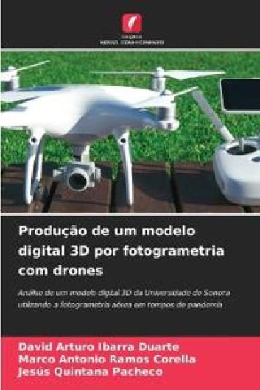
A constru o um dos sectores em que mais se investe e que, segundo a OCDE (Organiza o para a Coopera o e Desenvolvimento Econ mico), contribui com 13% do PIB mundial, mas curiosamente tamb m uma das actividades com menores ndices de produtividade nos ltimos 25 anos, segundo um estudo do McKinsey Global Institute (2017).Em diferentes fases da constru o, os drones e a fotogrametria a rea t m sido implementados como ferramenta de trabalho para alcan ar maiores n veis de produtividade nos processos de recolha de informa o no terreno, de forma mais r pida, precisa e, em alguns casos, mais econ mica.O objetivo do projeto desenvolvido neste livro produzir um modelo digital 3D de nuvem de pontos do Campus da Universidade de Sonora, Unidade Regional Central, e compar -lo com um modelo produzido antes do in cio da pandemia da COVID-19, com o objetivo de determinar se estas imagens podem ou n o ser utilizadas para identificar se a infraestrutura universit ria foi ou n o afetada durante esse per odo.
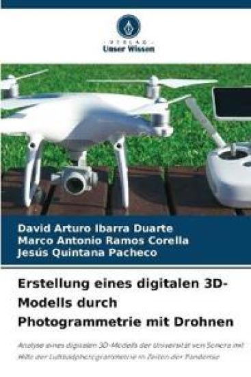
Das Baugewerbe ist einer der Sektoren, in dem die meisten Investitionen get tigt werden und der laut OECD (Organisation f r wirtschaftliche Zusammenarbeit und Entwicklung) weltweit 13 % zum BIP beitr gt, aber seltsamerweise ist es auch eine der T tigkeiten mit den niedrigsten Produktivit tsraten in den letzten 25 Jahren, wie eine Studie des McKinsey Global Institute (2017) zeigt.In verschiedenen Bauphasen wurden Drohnen und Luftbildphotogrammetrie als Arbeitsmittel eingesetzt, um eine h here Produktivit t bei der Informationserfassung vor Ort zu erreichen, und zwar auf eine schnellere, genauere und in einigen F llen auch wirtschaftlichere Weise.Ziel des in diesem Buch entwickelten Projekts ist es, ein digitales 3D-Punktwolkenmodell des Campus der Universit t von Sonora, Regionaleinheit Mitte, zu erstellen und es mit einem Modell zu vergleichen, das vor Beginn der COVID-19-Pandemie erstellt wurde, um festzustellen, ob diese Bilder verwendet werden k nnen, um zu ermitteln, ob die Infrastruktur der Universit t w hrend dieses Zeitraums betroffen war oder nicht.
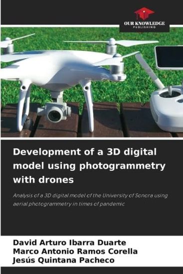
Being construction one of the sectors in which more is invested and that, according to the OECD (Organization for Economic Cooperation and Development), contributes 13% of GDP worldwide, curiously it is also one of the activities that shows lower rates of productivity in the last 25 years according to a study prepared by the McKinsey Global Institute (2017).In different stages of construction, drones and aerial photogrammetry have been implemented as a working tool to achieve higher levels of productivity in field information gathering processes in a faster, more accurate and economical way, in some cases.The purpose of the project developed in this book is to elaborate a 3D digital point cloud model of the Campus of the University of Sonora, Central Regional Unit, and compare it with one elaborated before the beginning of the COVID-19 pandemic, with the objective of determining if by means of these images it is possible to identify if there were or not affectations to the university infrastructure during that lapse.