Kirjojen hintavertailu. Mukana 12 595 353 kirjaa ja 12 kauppaa.
Kirjailija
Dorling Daniel
Kirjat ja teokset yhdessä paikassa: 6 kirjaa, julkaisuja vuosilta 1997-2011, suosituimpien joukossa Identity in Britain. Vertaile teosten hintoja ja tarkista saatavuus suomalaisista kirjakaupoista.
Bankrupt Britain is a unique atlas giving a comprehensive picture of the effect of the recession on Britain. In detailed colour maps, it shows how economic, social and environmental fortunes have been affected in different areas in the wake of the 2007 banking crisis, 2008 economic crash and 2009 credit crunch. It is essential reading for a broad audience with detailed local level data and a national snap-shot of Britain during this time.
REVISED EDITION NOW AVAILABLEFew would dispute that we live in an unequal and unjust world, but what causes this inequality to persist? Leading social commentator and academic Danny Dorling claims in this timely book that in rich countries inequality is no longer caused by not having enough resources to share, but by unrecognised and unacknowledged beliefs which actually propagate it. Based on significant research across a range of fields, in Injustice Dorling argues that, as the five social evils identified by Beveridge at the dawn of the British welfare state are gradually being eradicated (ignorance, want, idleness, squalor and disease), they are being replaced by five new tenets of injustice, that: elitism is efficient; exclusion is necessary;prejudice is natural;greed is good and despair is inevitable. In an informal yet authoritative style, Dorling examines who is most harmed by these injustices and why, and what happens to those who most benefit. Hard-hitting and uncompromising in its call to action, this is essential reading for everyone concerned with social justice.
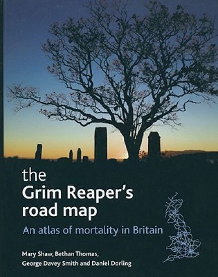
This impressive full-colour atlas, with over 100 colour-coded and accessible maps, uniquely presents the geography of death in Britain. The first atlas published on this subject for over two decades, this book presents data from more than 14 million deaths over a 24-year period in Britain. The maps detail over 100 separate categories of cause of death, including various cancers, suicides, assault by firearms, multiple sclerosis, pneumonia, hypothermia, falls, and Parkinson's disease, and show how often these occurred in different neighbourhoods. Accompanying each map is a detailed description and brief geographical analysis - the number of people who have died due to each cause, the average age of death and ratio of male to female deaths are listed. Taken as a whole, these provide a comprehensive overview of the geographical pattern of mortality in Britain. This atlas will be essential reading for academics and students of social medicine, sociology of health and illness and epidemiology. It will also be valuable for anyone who wants a better understanding of patterns of mortality within Britain, including medical and healthcare practitioners, policy makers and researchers.
Sixty million people live in Britain. Imagine sixty million. Imagine a map of sixty million. What would that map look like and what story would it tell us about identity in Britain today? Bethan Thomas and Danny Dorling have brought together this outstanding atlas to provide us with a unique visual picture of identity and geography combined. "Identity in Britain" explores our changing identities as we progress from infancy to old age and tells the story of the myriad geographies of life in Britain. Features and benefits include: over 280 full colour, detailed maps analysis of the contemporary neighbourhood geographies of people in Britain at various life stages clear introduction and how-to-use guide making the atlas highly accessible for a wide range of users locational reference maps to aid interpretation of the maps on each page Accompanying web resources, including locational cartograms Unlike conventional atlases of human geography, it allows us to see a range of data on a single map; further it allows us to easily see what social mixing does not occur as well as what does. Never before have we had such a vivid geographical picture of identity in Britain today. The atlas is essential reading for those interested in contemporary human identity and the social geography of early twenty first century Britain. It is also an invaluable resource for researchers working in a wide range of statutory and voluntary organisations, policy makers, journalists, politicians, students and academics.
Over 500 full-colour maps covering 125 topics clearly illustrate the state of UK society today and how it is changing. The trends are explained and elaborated upon in the accompanying text. Using population maps in addition to conventional maps, the atlas covers all the major census topics at local authority level.
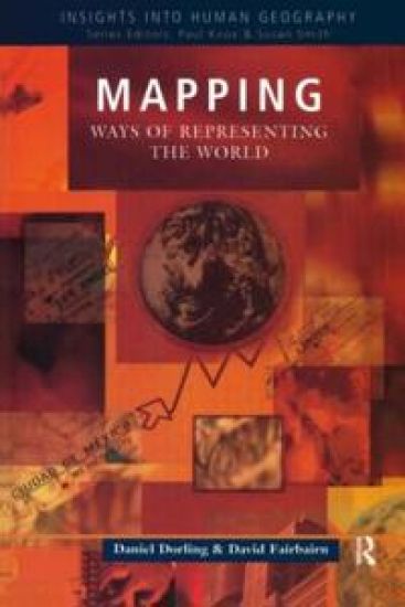
Illustrates how maps tell us as much about the people and the powers which create them, as about the places they show. Presents historical and contemporary evidence of how the human urge to describe, understand and control the world is presented through the medium of mapping, together with the individual and environmental constraints of the creator of the map.