Kirjojen hintavertailu. Mukana 12 571 051 kirjaa ja 12 kauppaa.

Kirjailija

Jacquetta Megarry

Kirjat ja teokset yhdessä paikassa: 37 kirjaa, julkaisuja vuosilta 2003-2026, suosituimpien joukossa Rob Roy Way. Vertaile teosten hintoja ja tarkista saatavuus suomalaisista kirjakaupoista.

37 kirjaa

Kirjojen julkaisuhaarukka 2003-2026.

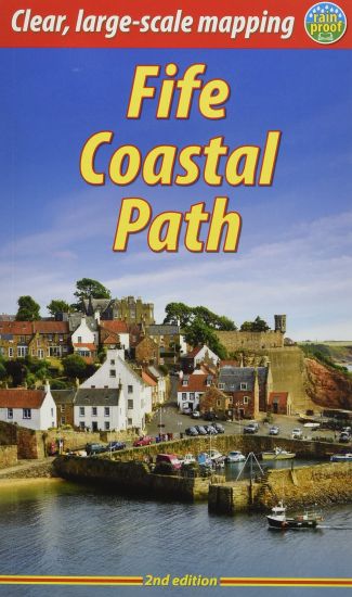
Fife Coastal Path (2 ed)

Fife Coastal Path (2 ed)

Sandra Bardwell; Jacquetta Megarry

RUCKSACK READERS
2022
pokkari
This route follows the Fife coastline for 117 mi (187 km). Starting near the famous Forth bridges, it heads beside the Firth of Forth to the fishing villages of Fife's East Neuk. Following the coastline, it passes through St Andrews, golf capital of the world, and ends at Newburgh on the unspoiled Firth of Tay. This edition has many route updates.
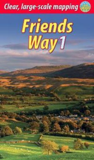
Friends Way 1

Friends Way 1

Martin Budgett; Jacquetta Megarry

RUCKSACK READERS
2022
nidottu
The Friends Way is a grand walk that starts in Barley, Lancashire, passing over the summit of Pendle Hill to and through some of the finest parts of the Yorkshire Dales to end at Sedbergh. It combines glorious scenery with superb wildlife and striking geology, and it also visits many places that were crucial in George Fox’s journey of 1652. He preferred to deliver his sermons outdoors, dismissing churches as ‘steeple-houses’. His long walk and discussions with Seekers and other dissidents were the catalyst for the creation of the Society of Friends, first known as Quakers. From Pendle Hill, where Fox had his vision, to Fox’s Pulpit, where he gave his ‘Sermon on the Fell’ to a crowd of over 1000, the route is steeped in Fox’s personal journey. This 62-mile Way ends at Sedbergh, a town rich in Quaker heritage, to be followed by two day-walks, one a circuit that takes in Fox’s Pulpit. The whole route can be completed comfortably inside one week. It will appeal not only to all Quakers who enjoy walking, but also to those walkers who don’t yet know the remarkable story of Fox’s 1652 journey and life. The guidebook is richly visual, with mapping at 1:35,000 on 17 of its pages and nearly 140 colour photos. It is robustly bound and printed on rainproof paper.
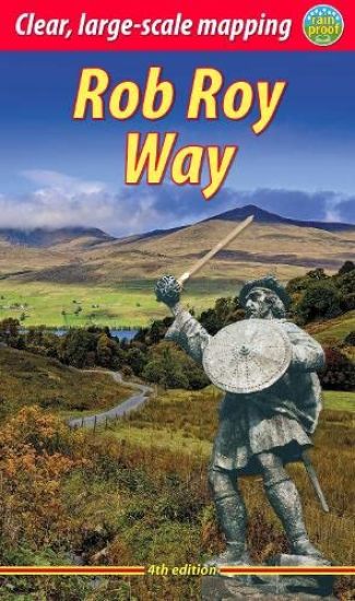
Rob Roy Way (4 ed)

Rob Roy Way (4 ed)

Jacquetta Megarry

RUCKSACK READERS
2021
pokkari
Revised 4th edition of guidebook for a trail linked with Scotland's most famous outlaw, Rob Roy MacGregor. It runs from Drymen to Pitlochry, with superb Highland scenery, wildlife, history and heritage. Based on fieldwork in 2021, here is how to plan and enjoy a week's walk or 3-4 days cycling; features detailed new mapping at 1:50,000 on 18 pages.
Arran Coastal Way (3 ed)

Arran Coastal Way (3 ed)

Jacquetta Megarry

RUCKSACK READERS
2021
nidottu
The Arran Coastal Way is perhaps Scotland's finest circular long-distance trail, running 65 miles (105 km) around the Isle of Arran in a memorable week-long hike from Brodick. It's accessible from near Glasgow by the Ardrossan ferry. Famous as`Scotland in miniature', Arran is rich in scenery, castles, caves and standing stones. The walking is varied, from mountain paths to deserted beaches, from minor road-walking to boulder-hopping, and in places it is refreshingly rugged. Arran's wildlife is uniquely approachable, and its residents welcoming. Both text and photos have been thoroughly updated after route changes and extra options created by the Coastal Communities Fund project. This third edition has mapping at 1:55,000 and 125 colour photos. Its predecessor was Highly Commended by the Outdoor Writers and Photographers Guild in 2018. This edition has more pages but is lighter and more rainproof than before. This guidebook contains all you need to plan and enjoy your Arran Coastal Way walk, including a Foreword by wilderness walker Cameron McNeish: detailed description of the route, updated for 2021background on geology, pre-history and historywhisky-making, wildlife and habitatsboat trip to the Holy Islerevised mapping of the entire route (1:55,000)information about public transport and travellavishly illustrated, with 125 colour photographson rainproof paper.
Speyside Way (3 ed)

Speyside Way (3 ed)

Jacquetta Megarry; Sandra Bardwell

RUCKSACK READERS
2021
pokkari
The Speyside Way runs for 85 miles from the fishing port of Buckie to Newtonmore in the Cairngorms National Park. This edition has large-scale mapping at 1:42,500, and plans of villages en route. It contains all you need to enjoy your walk with detailed directions, distance, terrain and refreshments. With 103 colour photos it makes a fine souvenir.
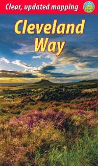
Cleveland Way (2 ed)

Cleveland Way (2 ed)

Gordon Simm; Jacquetta Megarry

RUCKSACK READERS
2021
pokkari
This popular National Trail runs for 108 miles (174 km) around the North York Moors from Helmsley to Filey. The book gives background on the history, geology and wildlife, with detailed route description updated in 2021. It is illustrated with 11 pages of mapping and 95 colour photos - all you need for a week's walking holiday.
Forth to Farne Way

Forth to Farne Way

John Henderson; Jacquetta Megarry

Rucksack Readers
2020
nidottu
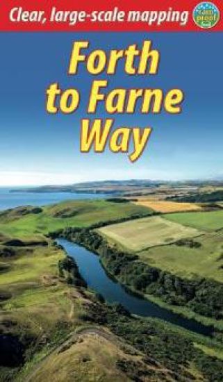
This inspiring 70-mile pilgrim route starts from North Berwick on the Firth of Forth near Edinburgh, and continues via Whitekirk’s 12th century church to Dunbar. It follows the North Sea coastline to the stunning scenery of St Abb’s Head and visits Coldingham Priory, perhaps Scotland’s most important Benedictine monastery. Enjoy impressive cliffs and dramatic sea stacks between visits to historic fishing villages. Cross the border and enter Berwick with its ramparts, walls and bridges across the River Tweed. The route culminates with a barefoot crossing of the Holy Island sands to Lindisfarne, where St Aidan founded a monastery in AD 635. Most people will complete the route within 5 to 8 days, staying in friendly B&Bs along the route, but it can also be done in several shorter expeditions using train and bus. This 72-page guidebook contains all you need to plan and enjoy the Forth to Farne Way: route detail in sections, with distance, terrain and refreshmentswhere to find food and accommodationbackground on the spiritual dimension, geology and wildlifeplanning information for travel by train, bus, car or plane16 pages with detailed route mapping at 1:30,000in full colour, with 80 photographsrucksack-friendly and on rainproof paper.
Causeway Coast Way (2 ed)

Causeway Coast Way (2 ed)

Eoin Reilly; Jacquetta Megarry

Rucksack Readers
2020
nidottu
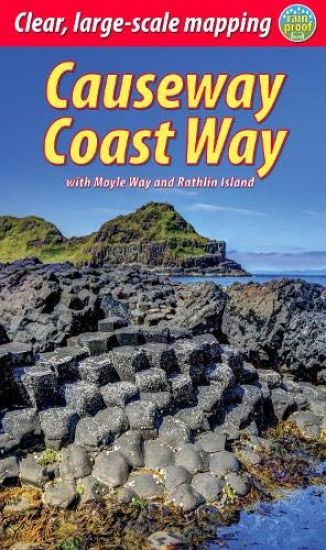
The unspoiled Causeway Coast of Antrim was one of Ireland's best-kept secrets until its glorious scenery and castles became familiar to fans of ‘Game of Thrones’. The World Heritage Site of the Giant's Causeway shows intriguing geology and is best enjoyed on foot. The Causeway Coast Way offers 32 miles (51 km) of waymarked, easy-going walking with welcoming B&Bs and pubs at strategic intervals. It combines well with a trip to the enchanting offshore island of Rathlin; the book also covers how to walk the more challenging Moyle Way – a 26-mile inland route that links up at Ballycastle. This guidebook contains all that a walker needs to plan and enjoy their holiday, including route maps for Causeway Coast and Moyle Ways (1:35,000); concise, up-to-date directions for both routes; geology and legend of the Giant's Causeway; background on habitats and wildlife; feature on Rathlin Island, with map and walks; contact details for accommodation and transport; over 80 glorious colour photos; and is in lightweight, rucksack-friendly format.
West Highland Way

West Highland Way

Jacquetta Megarry

RUCKSACK READERS
2020
nidottu
The West Highland Way is the first and most famous of Scotland's Great Trails, running for 96 miles (154 km) through superb scenery. Starting from the outskirts of Glasgow, it passes through Scotland's first National Park, along the banks of Loch Lomond, across the wilds of Rannoch Moor and ends in Fort William at the foot of Ben Nevis, Britain's highest mountain. This new edition describes the route from Milngavie northward, including the improved lochside path north of Rowardennan and the final "extra mile" into Fort William. It has more pages, many more photos and much larger scale mapping than before, yet it's lighter and than ever.This guidebook contains all you need to plan and enjoy the West Highland Way: the Way in sections, with summaries of distance, terrain and altitude profiles where to find food and drink, accommodation and how to split the distance concise background on the history, heritage and wildlife information about side-trips, e.g. Ben Lomond and Ben Nevis background information about Loch Lomond, history, habitats and wildlife planning information for travel by car, train, bus or plane 15 pages with detailed route mapping at 1:42,500 in full colour, with 120 photographs rucksack-friendly format.
Great Glen Way: Walk or cycle the Great Glen Way

Great Glen Way: Walk or cycle the Great Glen Way

Sandra Bardwell; Jacquetta Megarry

RUCKSACK READERS
2020
nidottu
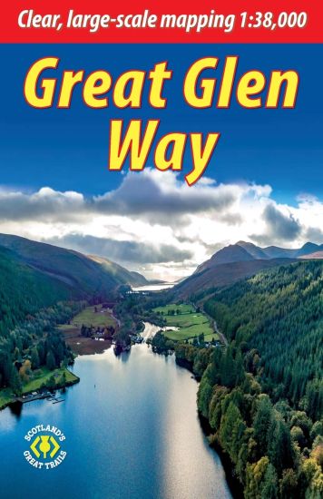
This guidebook (fully updated in 2020) contains all you need to plan and enjoy a holiday walking or cycling along Scotland's historic Great Glen (77 miles/124 km). The Way runs between Fort William and Inverness, passing beside Scotland's highest mountain, along its historic Caledonian Canal and alongside beautiful lochs, including Loch Ness with its famous monster legend and Urquhart Castle. This sixth edition has fresh mapping at 1:38,000 on 13 pages, with detailed relief contours and colouring; on rainproof paper throughout; in full colour, with 100+ photos; visitor attractions and hills to climb including Ben Nevis; town plans of Fort William and Inverness; background on local geology, history and wildlife; summary of each section showing distance, terrain, altitude profile and food/drink stops; planning information for travel by car, train, bus or plane.This guidebook contains all you need to plan and enjoy the Great Glen Way - on foot or on a bike: detailed mapping on 13 pages at 1:38,000 hill and mountain side-trips including Ben Nevis background on canal heritage, clan history and wildlife detailed description for each section walked from Fort William to Inverness summaries showing distance, terrain, food/drink stops and altitude profile planning information for walkers and cyclists town plans of Fort William and Inverness in full colour, with 100+ photos, many of them new rucksack-friendly and on rainproof paper.
John Muir Way: A Scottish coast-to-coast route

John Muir Way: A Scottish coast-to-coast route

Sandra Bardwell; Jacquetta Megarry

RUCKSACK READERS
2020
nidottu
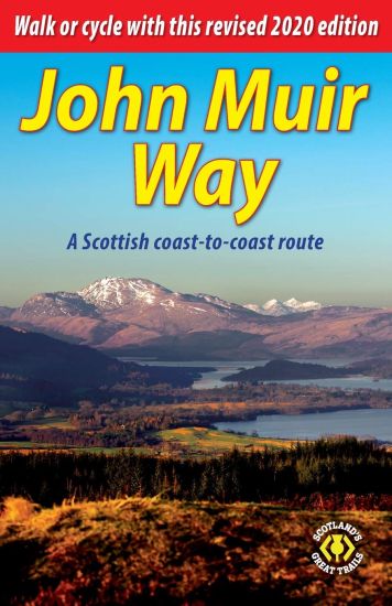
The John Muir Way is one of Scotland's Great Trails. It runs for 134 miles (215 km) coast-to-coast across central Scotland, from Helensburgh on the Clyde to Dunbar on the North Sea. The route is as suitable for cyclists as for walkers, and it can be completed as a coast-to-coast expedition or tackled in sections - typically ten for walkers or five for cyclists. Our 2020 lightweight edition includes the latest route updates approaching Strathblane and in Linlithgow, as well as the Three Lochs Way option leaving Helensburgh. It features mapping at 1:75,000 on 20 of its pages.The John Muir Way's appeal ranges from the Charles Rennie Mackintosh architecture of Helensburgh through the scenic grandeur of Loch Lomond, along two famous canals and past the amazing Falkirk Wheel, beside the Roman Antonine Wall, passing Linlithgow Palace, Blackness Castle and the Forth Bridges to the capital glories of Edinburgh. It goes beside the Firth of Forth to reach North Berwick, then heads inland to finish at Dunbar with its ruined castle and the John Muir birthplace.This guidebook contains all you need to plan and enjoy the John Muir Way on a bike or on foot: background on John Muir's life, the canal heritage and wildlife detailed description of the route from west to east summary of each section showing distance, terrain and food/drink stops details of visitor attractions and side-trips planning information for travel by car, train, bus or plane detailed mapping of the John Muir Way on 20 pages at 1:75,000 in full colour, with 100 photographs further route options, diversions and an unofficial shortcut.
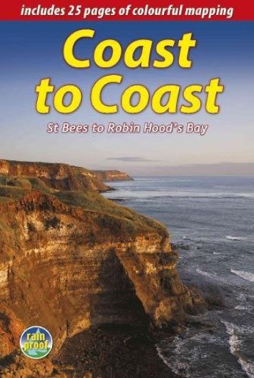
Coast to Coast (2 ed)

Coast to Coast (2 ed)

Sandra Bardwell; Jacquetta Megarry

Rucksack Readers
2018
kierre
England's most popular walk runs for 184 miles (296 km) across the north of England from St Bees on the Irish Sea to Robin Hood's Bay on the North Sea. It passes through three National Parks - the Lake District, Yorkshire Dales and North York Moors - with fine scenery, welcoming pubs and plenty of accommodation. Devised by the legendary Wainwright, the Coast to Coast attracts walkers worldwide. The new edition is richly illustrated with 150 photographs, many by professional landscape photographer Karen Frenkel. There are 25 pages of colourful new mapping (scale 1:55,000) with cumulative distances, a 25-metre contour interval and points of interest marked. Each section has its own altitude profile, with details of where refreshments are available. Much detail has been added to route descriptions, in many places clarified by extra photographs with custom overlays to clarify route detail. Major route options have been added and mapped, and many updates made. The format is lightweight, robust and rainproof.
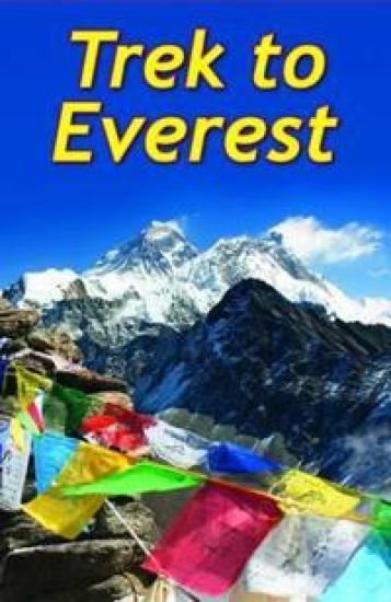
Trek To Everest

Trek To Everest

Max Landsberg; Jacquetta Megarry

Rucksack Readers
2016
kierre
The world's highest mountain has lured visitors from all over the world ever since its discovery. Attempting its summit is dangerous and requires special skills and experience, but the trek to its Base Camp in Nepal can be completed by well-prepared walkers of any age - safely and enjoyably. The views from the route are breath-taking, and the trek is punctuated by intriguing Buddhist monuments and monasteries. In the aftermath of the earthquakes in April/May 2015, Nepal needs trekkers more than ever. The authors focus on the popular route from Lukla to Base Camp, and also cover the trek to the beautiful Gokyo Lakes with the challenging option to link the two valleys over the Cho La. They provide background on Sherpa culture and religion and on wildlife and geology. There's a wealth of practical information on preparation, including how to prevent and manage altitude sickness. This award-winning guidebook contains everything you need to plan and enjoy your trek: details of each section showing trekking time and altitude gain/loss; how to choose a tour operator; background on Nepal, Sherpa culture, geology and wildlife; nine pages of detailed mapping at 1:50,000 of all trekking routes; lavishly illustrated, with over 90 colour photographs; rucksack-friendly, weatherproof format.
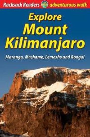
Explore Mount Kilimanjaro (4 ed)

Explore Mount Kilimanjaro (4 ed)

Jacquetta Megarry

Rucksack Readers
2013
kierre
At 5895 metres (nearly 4 miles) above sea level, the summit of Mount Kilimanjaro is the highest point on earth that a walker can reach. Success is not guaranteed, because each person's response to rapid altitude gain is different. But you can improve your chances by a wise choice of route and itinerary, by thorough preparation and by taking care of yourself on the mountain. The author provides information and advice about how to choose your route; how to prepare and what to pack; how to prevent and manage altitude sickness; first-hand detailed descriptions of Marangu, Machame, Lemosho and Rongai routes; background on Tanzania, its wildlife and economy; a special feature on climbing Mount Meru to pre-acclimatise; and a map flap showing all ascent routes. The book has over 60 colour photographs, opens flat and is printed on rainproof paper.
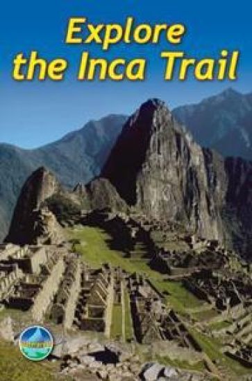
Explore the Inca Trail (3 ed)

Explore the Inca Trail (3 ed)

Jacquetta Megarry; Roy Davies

Rucksack Readers
2011
kierre
The third edition of this popular guidebook contains everything the walker needs to plan and enjoy hiking the Inca trail to Machu Picchu in Peru, with three routes taking from 2-7 days. It includes advice on how to prevent and manage altitude sickness; background on Inca culture and the ruins; and advice on planning in the light of new Trail regulations. This 2011 edition has been released for the centenery of Bingham's "discovery" of Machu Picchu. It contains everything you need to plan and enjoy hiking a choice of three Inca Trails to Machu Picchu in Peru. Step-by-step sections cover the Classic trail (4-5 days), the longer, more strenuous trek from Mollepata (6-7 days) and the Shortest option (2 days). The book includes a drop-down map showing all three trails (three panels), plus a detailed site plan of Machu Picchu ruins (two panels); detailed description of Machu Picchu, with side-trips and photographs; background on Inca culture and stonework, Andean wildlife and modern Peru; advice on planning and preparation, including packing checklist and updated Trail regulations; medical advice on how to prevent and manage altitude symptoms; and a phrasebook in Spanish, Quechua and English. The book is in full colour, with over 80 photographs, printed on waterproof paper.
Hadrian's Wall Path

Hadrian's Wall Path

Jacquetta Megarry; Gordon Simm

RUCKSACK READERS
2011
kierre
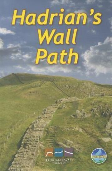
Hadrians Wall Path runs for 85 miles from coast to coast along the line of the Roman Wall completed in AD122 under the Emperor Hadrian. This National Trail crosses northern England from Irish Sea to North Sea and offers many chances to look at the forts, milecastles and interpretation centres within this UNESCO World Heritage Site. This guidebook contains all you need to plan and enjoy a classic week's walking. The route is clearly waymarked and well supported by public transport. This guidebook is almost unique in giving equal priority to walking the route from west-to-east as east-to-west. It explains clearly the pros and cons of each direction. This book provides all you need to plan and enjoy a classic week's walking in a compact package: detailed west-to-east and east-to-west route descriptions updated in mid-2025detailed mapping at 1:50,000 with miles numbered in both directionshistory and anatomy of the Wall, with details of forts and visitor centreswildlife explained and illustrated for the various habitatsinformation about public transport and travellavishly illustrated, with 100 colour photoson rainproof paper.
Explore the Great Wall

Explore the Great Wall

Jacquetta Megarry

Rucksack Readers
2003
kierre
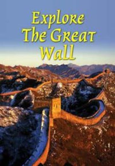
The Great Wall of China is the largest construction on earth, yet myths about it are more widely known than facts. The best way to appreciate the Great Wall is to explore it on foot. This richly illustrated book focuses on especially rewarding parts of the Ming Dynasty Wall (1368-1644). The book offers: walking notes on seven sections in detail; clear site plans of Badaling, Mutianyu and Simatai; two map panels showing the entire Wall network, plus one panel around Beijing (larger scale); practical information about transport and travel; introduction to Mandarin Chinese, Pinyin and pictographs; lavishly illustrated, with 70 colour photographs; rucksack-friendly format The sections include Laolongtou, where the Wall runs into the sea, and Panjiakou reservoir, a tranquil hike and boat trip. The glorious stretch from Simatai to Jinshanling runs along high ridges with 30 watch towers, and the Badaling and Mutianyu sections are surprisingly accessible from Beijing. The book sets the Ming Wall in the context of wall systems developed by different dynasties since the seventh century BC.