Kirjojen hintavertailu. Mukana 12 657 676 kirjaa ja 12 kauppaa.

Kirjailija

Kev Reynolds

Kirjat ja teokset yhdessä paikassa: 29 kirjaa, julkaisuja vuosilta 2010-2026, suosituimpien joukossa Trekking Chamonix to Zermatt. Vertaile teosten hintoja ja tarkista saatavuus suomalaisista kirjakaupoista.

29 kirjaa

Kirjojen julkaisuhaarukka 2010-2026.

Trekking Chamonix to Zermatt

Trekking Chamonix to Zermatt

Kev Reynolds

CICERONE PRESS
2026
nidottu
A guidebook to trekking the Walker's Haute Route from Chamonix to Zermatt. Covering 215km (134 miles) and 14,500 m of ascent and descent, this long-distance trek crosses 11 passes in the French and Swiss Alps. Taking 2 weeks to walk, the route is suitable for experienced alpine trekkers. The route is described west to east in 14 stages, each between 9 and 20km (6–12 miles) in length, with full details of route variants provided. 1:50,000 maps included for each stage plus larger-scale town maps for key locations GPX files available to download Handy route summary tables help you plan your itinerary The book features a handy stage facilities planner that highlights information about accommodation, facilities and public transport along the route Highlights include views of Mont Blanc and the Matterhorn
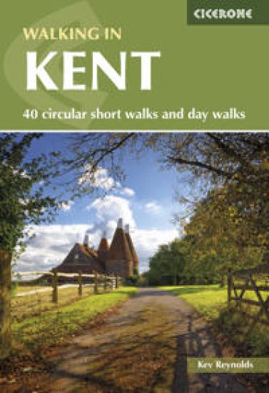
Walking in Kent

Walking in Kent

Kev Reynolds

CICERONE PRESS
2025
nidottu
A guidebook to 40 day walks in the county of Kent. With routes distributed across the county, from the chalky North Downs to the fertile hills and vales that give the region its name of the Garden of England, there’s all-year-round walking for beginners and experienced walkers alike. The day walks range from 7 to 15km (5–9 miles) in length, and are all circular. Also included are details of Kent’s long-distance trails, including the Saxon Shore Way and the North Downs Way National Trail. 1:50,000 OS maps included for each walkSized to easily fit in a jacket pocketThe day walks are divided into 2 areas: west Kent and The Weald, and north and east KentInformation given on local geology and wildlifeEasy access from London, Maidstone, Canterbury and Folkestone
Walks and Climbs in the Pyrenees

Walks and Climbs in the Pyrenees

Kev Reynolds

CICERONE PRESS
2024
nidottu
A guidebook to 170 walks, multi-day treks and moderate summit attempts in the Pyrenees. Covering the Central and High Pyrenees of France, Spain and Andorra these walks, treks and climbs are suitable for all walkers of all abilities and climbers capable of F to AD-. Covering the whole mountain range the routes are presented in 21 sections based on valley or massif. Routes vary between short 30min walks to 12-day treks and are graded allowing you to select the walks and climbs that suit you. Sketch maps are includedDetailed information on transport, facilities and mountain hutsAscents of 25 summits are includedHighlights include Pic du Midi d’Ossau and Ordesa National Park
North Downs Way Map Booklet

North Downs Way Map Booklet

Kev Reynolds

Cicerone Press
2024
pokkari
Map of the 130 mile (208km) North Downs Way National Trail, between Farnham and Dover, including an optional visit to Canterbury. This booklet is included with the Cicerone guidebook to the trail and shows the full route on OS 1:25,000 maps. One of the easier National Trails, it can be comfortably walked in 11-12 days.
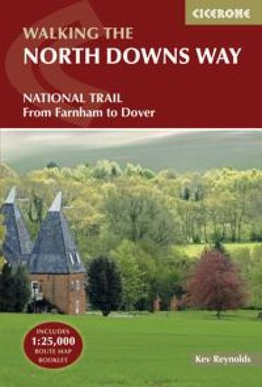
North Downs Way

North Downs Way

Kev Reynolds

Cicerone Press
2024
pokkari
Guidebook to walking the North Downs Way National Trail, a 130 mile (208km) trail between Farnham and Dover, with an optional visit to Canterbury. Following the ancient Pilgrim's Way for much of the way, through pleasant countryside, this is one of the easier National Trails and the walk is described over 11 stages. With 1:25K OS map booklet.
Trekking Chamonix to Zermatt

Trekking Chamonix to Zermatt

Kev Reynolds

CICERONE PRESS
2024
nidottu
A guidebook to the Walker’s Haute Route, a classic trek between Chamonix in France and Zermatt in Switzerland. Covering 215km (134 miles), this long-distance trek linking Mont Blanc and the Matterhorn takes around 2 weeks and is suitable for trekkers with Alpine experience. The route is described west to east in 14 stages, each between 9 and 20km (6–12 miles) in length. The route takes in 11 passes and 14,000m of ascent, with several route alternatives included allowing you to select the itinerary that suits you. 1:50,000 mapping included for each stageGPX files available to downloadDetailed information on mountain huts, facilities and refreshments along the routeAdvice on planning and preparation
Tour du Mont Blanc Map Booklet

Tour du Mont Blanc Map Booklet

Kev Reynolds; Lesley Williams; Jonathan Williams

CICERONE PRESS
2024
nidottu
A booklet of all the mapping needed to complete the Tour du Mont Blanc (TMB), a spectacular circuit around Mont Blanc. Covering 170km (105 miles), the TMB takes around 11 days to walk from its official start at Les Houches (France), passing through Courmayeur (Italy) and Champex (Switzerland) before returning to France via the Chamonix Valley. A well-serviced introduction to high-level mountain trekking for walkers with good levels of fitness, it can also be run, fastpacked or hiked in 5–9 days. The full route line is shown on 1:25,000 IGN mapsThe map booklet can be used to walk the TMB in either directionHandy facilities planner, route summary tables and accommodation listings help you plan your itineraryIncludes urban maps of Les Houches, Les Contamines, Courmayeur, Champex and ChamonixAlternative stages via Col de Tricot (Stage 1A) and Fenêtre d'Arpette (Stage 8A) are also providedAn accompanying Cicerone guidebook – Trekking the Tour du Mont Blanc – is also availableGPX files available to download
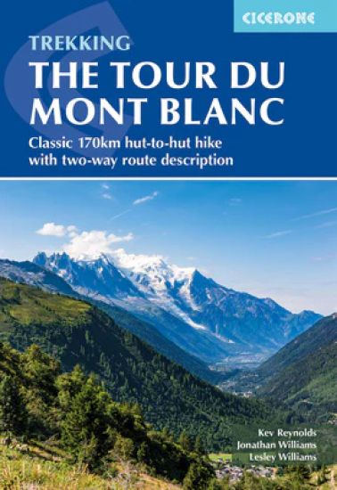
Trekking the Tour du Mont Blanc

Trekking the Tour du Mont Blanc

Kev Reynolds; Lesley Williams; Jonathan Williams

CICERONE PRESS
2024
nidottu
A guidebook to hiking the Tour du Mont Blanc (TMB), a spectacular circuit around Mont Blanc. Covering 170km (105 miles), the TMB takes around 11 days to walk from its official start at Les Houches (France), passing through Courmayeur (Italy) and Champex (Switzerland) before returning to France via the Chamonix valley. A well-serviced introduction to high-level mountain trekking for walkers with good levels of fitness, it can also be run, fastpacked or hiked in 5–9 days. The route is described in both directions in 11 daily stages between 7 and 21km (5–13 miles) in length. Variant routes and alternative stages are also provided, giving the option of visiting cols, refuges and viewpoints not included on the official TMB route. Contains step-by-step description of the route alongside 1:100,000 mapsHandy facilities planner, route summary tables and accommodation listings help you plan your itineraryIncludes transport info, a French–English glossary, notes on local history and sites of interestA map booklet, containing 1:25,000 IGN mapping and route line, is available separately from CiceroneGPX files available to download
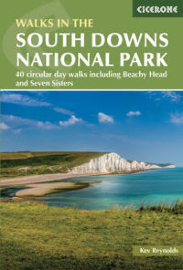
Walks in the South Downs National Park

Walks in the South Downs National Park

Kev Reynolds

CICERONE PRESS
2024
nidottu
A guidebook to 40 circular day walks in the South Downs National Park. Exploring the beautiful chalk hills between Eastbourne and Winchester, there’s something for beginner and experienced walkers alike. The walks range in length from 8 to 18km (5–11 miles), each is circular and where possible begins and ends at a place accessible by public transport. 1:50,000 OS maps are included for each walkDetailed information on public transport and car parkingHighlights include Beachy Head and the Seven SistersEasy access from Brighton and Worthing
The Cotswold Way

The Cotswold Way

Kev Reynolds

CICERONE PRESS
2024
nidottu
A guidebook to walking the Cotswold Way National Trail between Chipping Camden and Bath. Covering 163km (102 miles) across the Cotswolds National Landscape this straightforward hike takes 2 weeks to walk. The route is presented in 14 stages ranging from 7–17km (4–11 miles) in length. The route is described north to south and an abbreviated route description is also given for those walking the route south to north. Contains step-by-step description of the route alongside 1:100,000 OS maps reproduced at 1:75,000 for better clarityIncludes a separate map booklet containing OS 1:25,000 mapping and route lineGPX files available to download The book features a facilities planner that highlights information about facilities and public transport along the routeFull accommodation listings are included
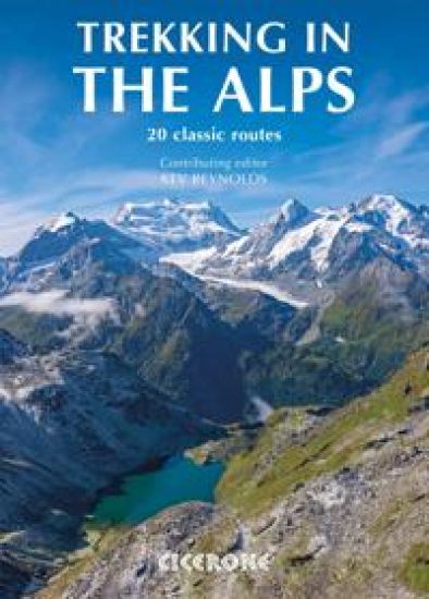
Trekking in the Alps

Trekking in the Alps

Kev Reynolds

CICERONE PRESS
2024
nidottu
An inspirational larger format guidebook to 20 summer treks in the Alps across Italy, Austria, Switzerland, France and Slovenia, including the classics such as the Tour of Mont Blanc and lesser-known routes like the Traverse of the Slovenian Alps. Perfect for planning, the treks included are: Tour of Mont Blanc, Tour of the Matterhorn, Tour of Monte Rosa, Walker's Haute Route, Tour of the Jungfrau Region, Tour of the Vanoise and Dolomites AV 1 and 2; (longer trans-Alpine routes) GR5 (Lake Geneva to Nice), Eastern Alps E5, Italian Alps GTA and the Traverse of the Slovenian Alps; and (for the Alpine adventurer) Alpine Pass Route, Tour of the Oisans, Tour of the Queyras, Tour of Mont Ruan, Stubai High Route, Zillertal High Route, Gran Paradiso AV2 and the Ratikon Hoehenweg. Outline schedules for each trek allow you compare the routes and become inspired to take up the challenge. Basic day-by-day route descriptions for each route are illustrated with maps and profiles, helping you choose the best routes to walk.
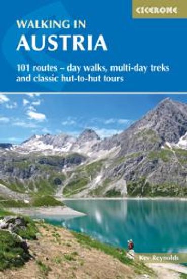
Walking in Austria

Walking in Austria

Kev Reynolds

CICERONE PRESS
2023
nidottu
A guidebook to 101 graded day walks, multi-day treks and hut-to-hut tours across Austria. Exploring the beautiful scenery of the Austrian Alps, the routes are suitable for walkers of all abilities and are perfect for walking April to October. Routes range from 3-120km (2-75 miles) and are graded 1-3 so there’s something for everyone. Areas covered include Rätikon, Silvretta, Stubai, and Zillertal Alps, the Hohe Tauern, and the Karawanken. Full description and sketch maps included for each walkInformation on public transport, accommodation, gear and safetyFull details of over 100 mountain hutsGerman-English glossarySized to easily fit in a jacket pocket
Trekking the Swiss Via Alpina

Trekking the Swiss Via Alpina

Kev Reynolds

CICERONE PRESS
2023
nidottu
A guidebook to walking the Swiss Via Alpina from Sargans to Montreux on Lac Léman (Lake Geneva). Covering 400km (250 miles), this long-distance trek in the Swiss Alps takes around 3 weeks to walk and is suitable for experienced trekkers. The route is described from east to west in 19 stages, each between 12 and 29km (8–18 miles) in length. A 27km (17 mile) prologue stage from Liechtenstein is also included, as well as detour stages via Lenk and Gsteig. 1:100,000 maps included for each stageGPX files available to downloadDetailed information on mountain huts, facilities and public transportAdvice on planning and preparation
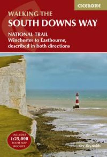
The South Downs Way

The South Downs Way

Kev Reynolds

CICERONE PRESS
2023
nidottu
A guidebook to walking the 158km (100 mile) South Downs Way National Trail. The route crosses the South Downs National Park to link Eastbourne with Winchester and is an ideal option for those new to long-distance walking. The route is described in both directions – east to west and west to east – in 12 stages of between 6 and 19km (4–12 miles), with both footpath and bridleway options for the most easterly stage. Contains step-by-step description of the route alongside 1:50,000 OS mapsIncludes a separate map booklet containing OS 1:25,000 mapping with the route lineHandy trek planner, route summary table and selected accommodation listings help you plan your itineraryRefreshment and accommodation information given for each route stageGPX files available to download
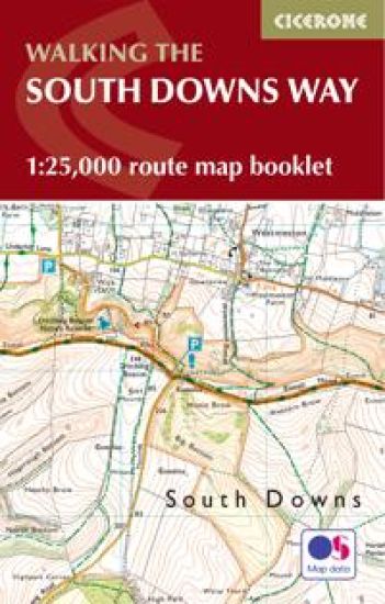
South Downs Way Map Booklet

South Downs Way Map Booklet

Kev Reynolds

CICERONE PRESS
2023
pokkari
Map of the 100 mile (160km) South Downs Way National Trail, between Eastbourne and Winchester. This booklet is included with the Cicerone guidebook to the trail and shows the full route on OS 1:25,000 maps. The trail typically takes a week to walk and is suitable for most levels of ability.
Trekking in the Vanoise

Trekking in the Vanoise

Kev Reynolds; Jonathan Williams

CICERONE PRESS
2023
nidottu
A guidebook to walking the 163km (101 mile) Tour of the Vanoise and the 72km (45 mile) Tour des Glaciers de la Vanoise. These hut-to-hut treks through the Vanoise National Park in the French Alps can be walked in 2 weeks and are suitable for fairly experienced hikers. The Tour of the Vanoise is described in 11 stages each between 6 and 19km (4–12 miles) in length, and the Tour des Glaciers de la Vanoise in presented in 5 stages of 8–20km (5–12 miles). Three other treks are also summarised – the Tour of the Eastern Vanoise, the Tour of the Western Vanoise and a Traverse of the Vanoise via the GR5 and GR55. 1:50,000 maps included for each stageGPX files available to downloadDetailed information about accommodation, facilities and mountain huts along the routeAdvice on planning and preparation
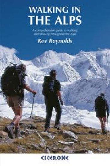
Walking in the Alps

Walking in the Alps

Kev Reynolds

Cicerone Press
2021
pokkari
An outstanding and comprehensive book exploring the walking and trekking possibilities in every Alpine region. Many thousands of possible routes are suggested, from the Maritime Alps of southern France throughout the range to the Julian Alps of Slovenia. Walks vary from undemanding to long and tough, and everything in between.
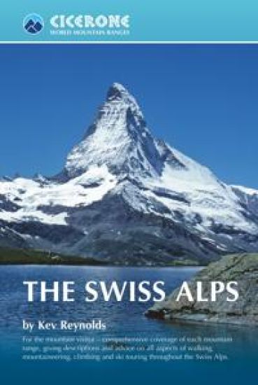
The Swiss Alps

The Swiss Alps

Kev Reynolds

CICERONE PRESS
2021
nidottu
This comprehensive book is an excellent planning resource for those who wish to venture into the Swiss Alps. Whether you are planning a walk, scramble, climb or ski tour this larger format guide describes each mountain area throughout Switzerland - the peaks, passes, valleys and bases - to help readers identify the best destinations for their chosen mountain activity. Dozens of individual valleys are described, together with the mountains that wall them, with recommendations given for their finest walks, treks and climbs. Working eastwards across the country, this guide is divided into seven chapters: Chablais Alps, Pennine Alp, Lepontine and Adula Alps, Bernina, Bregaglia and Albula Alps, Bernese Alps, Central Swiss Alps and the Silvretta and Ratikon Alps, each devoted to a specific range or group of connecting ranges. However, this is not a route guide and detailed descriptions are not provided. The aim of the book is to inspire as well as inform; to show first-time visitors just what the Swiss Alps have to offer and provide a new perspective for those who have been before.
Walking in the Engadine - Switzerland

Walking in the Engadine - Switzerland

Kev Reynolds

CICERONE PRESS
2019
nidottu
A guidebook to 100 graded walks in the Engadine region of Switzerland. Exploring the beautiful scenery of the national park, Val Bregaglia and neighbouring valleys, the walks are suitable for beginner and experienced walkers alike. Day walks range from 4 to 16km (2–10 miles) and can be enjoyed in 1–9 hours. Two multi-day treks are also included: the Bregaglia Circuit (65km, 41 miles, 6–7 days) and a traverse of the Swiss National Park (46km, 29 miles, 3–4 days). Overview sketch maps are providedDetailed information on planning, mountain huts and public transportEasy access from St Moritz and ZernezHighlights include views from Tombal and Berghaus Diavolezza
The Mountain Hut Book

The Mountain Hut Book

Kev Reynolds

CICERONE PRESS
2018
nidottu
This book is a celebration of mountain huts, showcasing the the sheer variety and sometimes quirky nature of these buildings that allow walkers, trekkers and climbers to access remote corners of the mountains. Packed with entertaining stories that bring the places and people to life, it contains descriptions of the author's favourite huts in the Alps, along with suggestions for hut-to-hut tours of 3-13 days duration, including the Tour of Mont Blanc. It also traces the history of huts and how they have evolved from the most primitive of shelters to the often purpose-built, eco-friendly buildings of today. For the uninitiated, it unravels some of the mystery of huts and explains how to use them and what facilities to expect. Above all, it illustrates the way in which mountain huts can be truly sociable places, where like-minded people can spend a night or two in the most magical of locations and share a love of wild places.