Kirjojen hintavertailu. Mukana 12 459 402 kirjaa ja 12 kauppaa.

Kirjailija

Kurt Menke

Kirjat ja teokset yhdessä paikassa: 7 kirjaa, julkaisuja vuosilta 2016-2024, suosituimpien joukossa Collecting Field Data with QGIS and Mergin Maps. Vertaile teosten hintoja ja tarkista saatavuus suomalaisista kirjakaupoista.

7 kirjaa

Kirjojen julkaisuhaarukka 2016-2024.

Collecting Field Data with QGIS and Mergin Maps

Collecting Field Data with QGIS and Mergin Maps

Kurt Menke; Alexandra Bucha Rásová

Locate Press
2024
pokkari
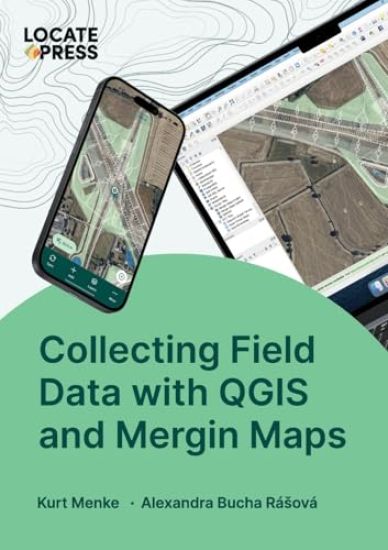
What is Mergin Maps?Take your QGIS project into the field with Mergin Maps. With Mergin Maps, you can easily capture features and photos with your team, synchronize changes across devices and use the power of QGIS to manage your project.This concise 137 page book, covers everything you need to know to work with Mergin Maps. If you are new to Mergin Maps and QGIS, the book begins with a gentle introduction. This includes all the basic steps of setting up a project in QGIS, configuring survey layers, conducting your first field survey and making your first map.If you are familiar with Mergin Maps, the book includes information on more advanced workflows. There is a detailed chapter on advanced project configuration and information on project management and collaboration principles. With this book you can unleash the full power of the Mergin Maps platform.
Discover QGIS 3.x - Second Edition

Discover QGIS 3.x - Second Edition

Kurt Menke

Locate Press
2022
pokkari
Explore the latest Long Term Release (LTR) of QGIS with Discover QGIS 3.x, a comprehensive up-to-date workbook built for both the classroom and professionals looking to build their skills.Designed to take advantage of the latest QGIS features, this book will guide you in improving your maps and analyses.The second edition is an update of the original title, using QGIS 3.24+. It contains 31 chapters covering an Introduction to Geospatial Technology, Spatial Analysis, Data Management, Cartography and Advanced Data Visualization. All 31 chapters have been updated with new figures of each GUI, more thorough descriptions and new QGIS features and workflows.The second edition includes: Seven brand new chapters: Raster Data AnalysisField Data CollectionUsing the Style Manager & Working with Legend Patch ShapesAutomating Print Layouts with Templates and AtlasesWorking with Labels and AnnotationAnimating Temporal Data with the Temporal ControllerWorking with Point Cloud DataAnother seven chapters with major updates including new tasks. Updated appendices covering: Coordinate reference systemsKeyboard shortcutsPopular pluginsGetting involvedThe book is a complete resource and includes: Lab exercisesChallenge exercisesDiscussion questionsAll data and solution files
QGIS for Hydrological Applications - Second Edition

QGIS for Hydrological Applications - Second Edition

Hans Van Der Kwast; Kurt Menke

Locate Press
2022
pokkari
Now updated - learn even more GIS skills for catchment hydrology and water management with QGIS This second edition workbook introduces hydrological topics to professionals in the water sector using state of the art functionality in QGIS. The book is also useful as a beginner's course in GIS concepts, using in a problem-based learning approach.Designed to take advantage of the latest QGIS features, this book will guide you in improving your maps and analysis.The second edition adds the following new features: Covers QGIS 3.22 and higher, with 10% more pagesImproved and shorter workflowsRaster Attribute Tables are introducedPCRaster Tools plugin for stream and catchment delineationFlow direction styling with arrows and 3D visualizationCreate pie charts based on layer colors with the Data Plotly pluginUsing and creating legend patch shapesEasier elevation gradient legends using new functionalityUse of dynamic text in the Print Layout
Discover QGIS 3.x

Discover QGIS 3.x

Kurt Menke

Locate Press
2019
pokkari
Explore the latest Long Term Release (LTR) of QGIS with Discover QGIS 3.x,a comprehensive up-to-date workbook built for both the classroom and professionals looking to build their skills. Designed to take advantage of the latest QGIS features, this book will guide you in improving your maps and analysis.