Kirjojen hintavertailu. Mukana 12 595 353 kirjaa ja 12 kauppaa.

Kirjailija

Mark Ovenden

Kirjat ja teokset yhdessä paikassa: 12 kirjaa, julkaisuja vuosilta 2012-2025, suosituimpien joukossa Paris Metro Architecture & Design Map. Vertaile teosten hintoja ja tarkista saatavuus suomalaisista kirjakaupoista.

12 kirjaa

Kirjojen julkaisuhaarukka 2012-2025.

The Untold Railway Stories

The Untold Railway Stories

Shahnaz Habib; Clare Hammond; Mark Ovenden; Vicki Pipe; Leon McCarron; Monisha Rajesh; Andrew Martin; Yvonne Adhiambo Owuor; Sam Williams; Omar Musa

Duckworth Books
2025
sidottu
A compendium of fascinating and evocative new writing on railway travel and history. Telling of little known journeys and uncovered histories on railway routes around the world - from the UK, Europe and Africa to North America, the Middle East and Asia. From Myanmar's highlands to the British Pennines, from slow travel between coffee plantations in Borneo to a cross-continent odyssey on African railways, from the pioneers of the American West to European trains in war, this is a new prism through which to explore human lives, and global landscapes, politics and history. The Untold Railway Stories is a testament to both the joy and impact of train travel - to the ambition and ingenuity, and also to destruction and sacrifice within its history - and is published to coincide with the 200th anniversary of first passenger railway line.
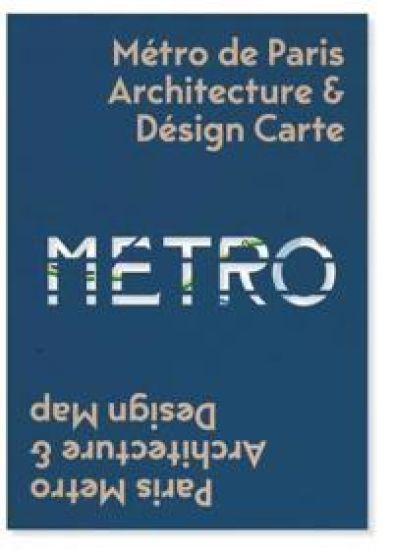
Paris Metro Architecture & Design Map

Paris Metro Architecture & Design Map

Mark Ovenden

Blue Crow Media
2019
kartta, rulla
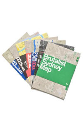
Curated by transport design historian and broadcaster Mark Ovenden, with original photography by Nigel Green, this two-sided cartographic guide is an original and fascinating insight into architecture and graphic design for transport lovers, students of design and anyone interested in the history of Paris. The guide includes a geographical Metro map with featured stations marked, with corresponding photography and details on the reverse along with tips for where to find unique and unusual signage, ornamentation, architecture and more. The map is protected by a slipcover
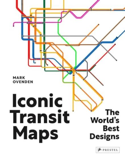
Iconic Transit Maps

Iconic Transit Maps

Mark Ovenden

Prestel
2024
sidottu
This visually stunning collection of iconic and historic subway, light rail, and streetcar maps from fifty of the world's most exciting cities is a map- and transit-lover's dream. Transport maps are some of the most frequently consulted and memorized navigation tools on earth. Millions use them daily to guide their journeys. Some have gained such familiarity they're revered as design classics, hunted by collectors. Taken for granted, without these everyday objects passengers would quite literally be lost without them. Best-selling author, Mark Ovenden who curated this collection dating from their earliest appearance 160 years ago, dissects the design decisions which led to today's intelligent wayfinding tools. Divided by continent, it features archival and modern maps from a dizzying array of locations-from Algiers and Cape Town; Boston and Chicago; Mexico City and Montreal; Bangkok and Beijing; Delhi and Doha; Amsterdam and Prague; to Auckland and Sydney. Perfect for the seasoned traveler, transit enthusiast, or anyone intrigued by the art and science of mapmaking this book provides a unique and informative exploration of urban mobility as it celebrates the functionality, universal appeal, and iconic status of transit maps.
Airline Maps

Airline Maps

Mark Ovenden; Maxwell Roberts

Plume
2019
nidottu
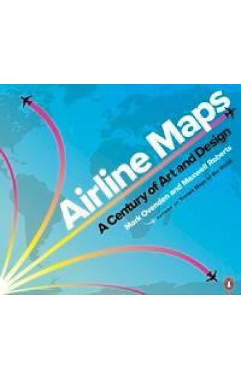
A nostalgic and celebratory look back at one hundred years of passenger flight, featuring full-color reproductions of route maps and posters from the world's most iconic airlines, from the author of bestselling cult classic Transit Maps of the World. In this gorgeously illustrated collection of airline route maps, Mark Ovenden and Maxwell Roberts look to the skies and transport readers to another time. Hundreds of images span a century of passenger flight, from the rudimentary trajectory of routes to the most intricately detailed birds-eye views of the land to be flown over. Advertisements for the first scheduled commercial passenger flights featured only a few destinations, with stunning views of the countryside and graphics of biplanes. As aviation took off, speed and mileage were trumpeted on bold posters featuring busy routes. Major airlines produced highly stylized illustrations of their global presence, establishing now-classic brands. With trendy and forward-looking designs, cartographers celebrated the coming together of different cultures and made the earth look ever smaller. Eventually, fleets got bigger and routes multiplied, and graphic designers have found creative new ways to display huge amounts of information. Airline hubs bring their own cultural mark and advertise their plentiful destination options. Innovative maps depict our busy world with webs of overlapping routes and networks of low-cost city-to-city hopping. But though flying has become more commonplace, Ovenden and Roberts remind us that early air travel was a glamorous affair for good reason. Airline Maps is a celebration of graphic design, cartographic skills and clever marketing, and a visual feast that reminds us to enjoy the journey as much as the destination.
Airline Maps

Airline Maps

Mark Ovenden; Maxwell Roberts

Particular Books
2019
nidottu
A celebratory look back at one hundred years of passenger flight, featuring full-colour reproductions of route maps and posters from the world's most iconic airlinesFrom the first faltering flights over plains, water, and mountains to the vast networks of today, air travel has transformed the world and how people see it. Maps played their part in showing what was possible and who was offering new opportunities. As tiny operations with barely serviceable airplanes pushed out farther and farther, growing and merging to form massive global empires, so the scope of their maps became bigger and bolder, until the entire world was shrunk down to a single sheet of paper. Designs featured sumptuous Art Deco style, intricate artistry, bold modernism, 60s psychedelia, clever photography, and even underground map-style diagrams.For the first time, Mark Ovenden and Maxwell Roberts chart the development of the airline map, and in doing so tell the story of a century of cartography, civil aviation, graphic design and marketing. Airline Maps is a visual feast that reminds the reader that mapping the journey is an essential part of arriving at the destination.
Johnston & Gill

Johnston & Gill

Mark Ovenden

Lund Humphries Publishers Ltd
2016
sidottu
Edward Johnston (1872–1944) and Eric Gill (1882–1940) were originators of two of the world's most enduring typefaces. Johnston still stands as London's primary 'wayfinding' lettering, while Gill Sans is the type of choice within many public and private organisations across the UK today. This book celebrates their significant contribution to Britain's visual culture. Tracing the story of each typeface from inception to the present day, Mark Ovenden skilfully draws together a complex joint history that incorporates Edward Johnston's and Eric Gill's friendship and occasional collaboration, the myriad of revisions to both typeface designs, and the enduring appeal of the two typefaces over the last century among a range of clients, most notably the London Underground (Johnston) and the BBC (Gill Sans). Including rarely seen imagery, this fascinating book is must for all typography, design and cultural history enthusiasts.
Transit Maps of the World

Transit Maps of the World

Mark Ovenden

Penguin Books Ltd
2015
nidottu
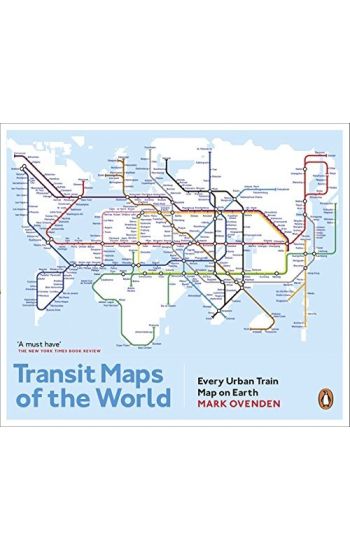
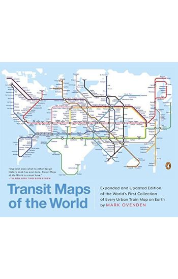
Transit Maps of the World is the first, comprehensive collection of every rapid-transit system on earth. Using glorious, colourful graphics, Mark Ovenden traces the history of urban transport systems, including rare and historic maps, diagrams, and photographs. Transit Maps could not be more relevant to our modern existence. It uncovers the way many of us are able live and work day to day. It is an inspiring compendium for graphic designers and transport enthusiasts alike.
Transit Maps of the World: Expanded and Updated Edition of the World's First Collection of Every Urban Train Map on Earth
A completely updated and expanded edition of the cult bestseller, featuring subway, light rail, and streetcar maps from New York to Nizhny Novgorod. Transit Maps of the World is the first and only comprehensive collection of historical and current maps of every rapid-transit system on earth. In glorious, colorful graphics, Mark Ovenden traces the cartographic history of mass transit--including rare and historic maps, diagrams, and photographs, some available for the first time since their original publication. Now expanded with thirty-six more pages, 250 city maps revised from previous editions, and listings given from almost a thousand systems in total, this is the graphic designer's new bible, the transport enthusiast's dream collection, and a coffee-table essential for everyone who's ever traveled in a city.
London Underground By Design

London Underground By Design

Mark Ovenden

Penguin Books Ltd
2013
nidottu
London Underground By Design is the beautifully illustrated new book from Mark Ovenden, the acclaimed author of Great Railway Maps of the World, published to coincide with the 150th anniversary of the Tube in 2013.Since its establishment 150 years ago as the world's first urban subway, the London Underground has continuously set a benchmark for design that has influenced transit systems from New York to Tokyo, Moscow to Paris and beyond. London Underground by Design is the first meticulous study of every aspect of that feat, a comprehensive history of one of the world's most celebrated design achievements, and of the visionaries who brought it to life.Beginning in the pioneering Victorian age, Mark Ovenden charts the evolution of architecture, branding, typeface, map design, interior and textile styles, posters, signage and graphic design and how these came together to shape not just the Underground's identity, but the character of London itself. This is the story of celebrated designers - from Frank Pick, the guru who conceptualised the modern Tube's look under the 'design fit for purpose' mantra, to Harry Beck, Tube diagram creator, and from Marion Dorn, one of the twentieth century's leading textile designers, to Edward Johnston, creator of the distinctive font that bears his name, as well as Leslie Green, designer of central London's distinctive ruby-red tiled stations, and the Design Research Unit's head, Misha Black, who in the 1960s rebranded British Railways and created the Victoria line's distinctive style, and Sir Norman Foster, architect of Canary Wharf station.'Fascinating ... authoritative ... bristles with photographs I've never seen before ... the book does ample justice to a network that - overcrowded and overpriced - is a glorious palimpsest of design' Andrew Martin, Observer'I wouldn't ordinarily enthuse about one book at such length, but this is an important work...not because it's an entertaining read (it is), but because it identifies the birth of a brand...and records the birth of a new idea - the transport interchange' Kevin McCloud, Grand Designs Magazine'Mark Ovenden has devotedly documented the designs associated with [the Underground] ... "addictive" for anyone interested in the look of everyday life' Telegraph'This beautifully illustrated history is a worth tribute [to 150 years of design]' Shortlist'A wonderful, handsome book ... it makes me want to nerd out, get a travel card and whiz out to the strange ends of Metroland or the UFO shape of Southgate station' Robert Bownes/Andrew Tuck, Monocle Weekly (Radio programme)Mark Ovenden is a British writer and broadcaster. His previous books are Metro Maps of the World, Paris Metro Style and Great Railway Maps of the World. He is a Fellow of the Royal Geographic Society and lives in London.
Vignelli Transit Maps

Vignelli Transit Maps

Peter B. Lloyd; Mark Ovenden

RIT Cary Graphic Arts Press
2012
pokkari
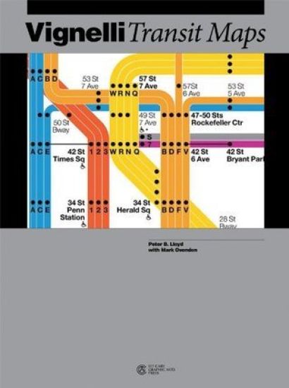
A vivid reconstruction of designer Massimo Vignelli's attempt to present the complexities of the New York subway in a clear and modern form. Vignelli Transit Maps describes the history of the New York subway maps and follows this city's transportation growth from separate, independent lines to one large system. Peter Lloyd uncovers the history of the Vignelli map that includes the legacy of the people who created and promoted this New York icon - as well as those who hastened its demise. He explores in fascinating detail Vignelli's dealings with the MTA when he was a principal at the design agency, Unimark, and provides profiles of the diverse players, their contributions and conflicting philosophies. The book includes a first glimpse at original, early development sketches of the famed map and of its recent successors, as well as Unimark's development sketches for the then new Washington DC metro. PETER B. LLOYD worked in the software design industry and is co-editor of Paris Metro Style. MARK OVENDEN is a broadcaster and author who specialises in graphic design and architecture in public transport. He has written several books on the Paris and London underground systems.