Kirjojen hintavertailu. Mukana 12 595 353 kirjaa ja 12 kauppaa.

Kirjailija

Markus Neteler

Kirjat ja teokset yhdessä paikassa: 2 kirjaa, julkaisuja vuosilta 2007-2010, suosituimpien joukossa Open Source GIS. Vertaile teosten hintoja ja tarkista saatavuus suomalaisista kirjakaupoista.

2 kirjaa

Kirjojen julkaisuhaarukka 2007-2010.

Open Source GIS

Open Source GIS

Markus Neteler; Helena Mitasova

Springer-Verlag New York Inc.
2010
nidottu
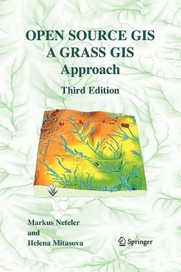
With this third edition of Open Source GIS: A GRASS GIS Approach, we enter the new era of GRASS6, the first release that includes substantial new code developed by the International GRASS Development Team. The dramatic growth in open source software libraries has made the GRASS6 development more efficient, and has enhanced GRASS interoperability with a wide range of open source and proprietary geospatial tools. Thoroughly updated with material related to the GRASS6, the third edition includes new sections on attribute database management and SQL support, vector networks analysis, lidar data processing and new graphical user interfaces. All chapters were updated with numerous practical examples using the first release of a comprehensive, state-of-the-art geospatial data set.
Open Source GIS

Open Source GIS

Markus Neteler; Helena Mitasova

Springer-Verlag New York Inc.
2007
sidottu
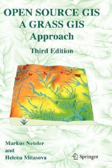
With this third edition of Open Source GIS: A GRASS GIS Approach, we enter the new era of GRASS6, the first release that includes substantial new code developed by the International GRASS Development Team. The dramatic growth in open source software libraries has made the GRASS6 development more efficient, and has enhanced GRASS interoperability with a wide range of open source and proprietary geospatial tools. Thoroughly updated with material related to the GRASS6, the third edition includes new sections on attribute database management and SQL support, vector networks analysis, lidar data processing and new graphical user interfaces. All chapters were updated with numerous practical examples using the first release of a comprehensive, state-of-the-art geospatial data set.