Kirjojen hintavertailu. Mukana 12 595 353 kirjaa ja 12 kauppaa.

Kirjailija

Paddy Dillon

Kirjat ja teokset yhdessä paikassa: 44 kirjaa, julkaisuja vuosilta 2018-2026, suosituimpien joukossa Walking and Trekking in Iceland. Vertaile teosten hintoja ja tarkista saatavuus suomalaisista kirjakaupoista.

44 kirjaa

Kirjojen julkaisuhaarukka 2018-2026.

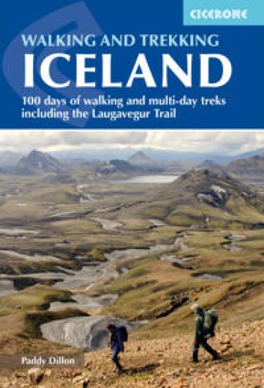
Walking and Trekking in Iceland

Walking and Trekking in Iceland

Paddy Dillon

CICERONE PRESS
2026
nidottu
This guidebook to walking routes in Iceland offers 49 day walks and 10 multi-stage treks including the classic Laugavegur Trail. The total of 100 days of routes described cater for most abilities, from waymarked walks to challenging glacier crossings. Information on public transport, accommodation, facilities and budget travel tips also included.
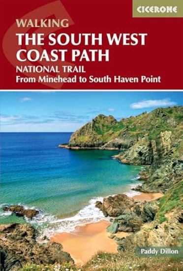
Walking the South West Coast Path

Walking the South West Coast Path

Paddy Dillon

CICERONE PRESS
2026
nidottu
A guidebook to walking the South West Coast Path, a long-distance National Trail from Minehead to Poole, along the north Devon, Cornish, south Devon and Dorset coastline. Covering 1022km (635 miles), this epic route takes in Exmoor National Park and the Jurassic Coast World Heritage Site and takes around 4 weeks to walk. The route is described in 45 stages between 12 and 38km (7.5–24 miles) in length. Also described is the 17-mile South Dorset Ridgeway, from West Bexington to Osmington Mills, which can be used as a scenic way to shave 42 miles off the total distance. 1:50,000 OS maps for each stage GPX files available to download Detailed information about accommodation, refreshments and facilities along the route Advice on planning and preparation
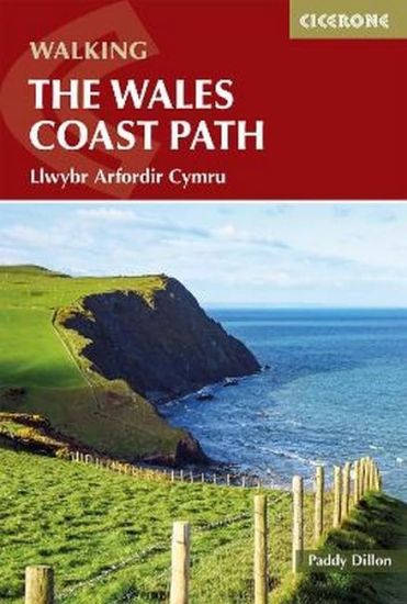
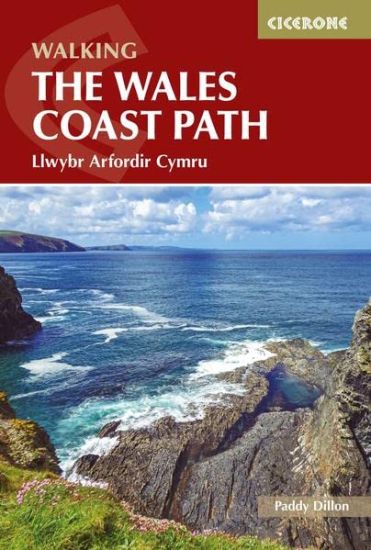
Walking the Wales Coast Path

Walking the Wales Coast Path

Paddy Dillon

CICERONE PRESS
2025
nidottu
A guidebook to walking the Wales Coast Path (Llwybr Arfordir Cymru) between Chester and Chepstow. Covering 1398km (869 miles), this long-distance trek passing through two national parks, Eryri (Snowdonia) and the Pembrokeshire Coast, takes around 2–3 months to hike. The route is described from north to south in 57 stages between 16 and 30km (10–19 miles) in length. The stages are presented in 9 sections so the route can be easily broken down into shorter sections or day walks. 1:100,000 maps included for each stageGPX files available to downloadHandy facilities table helps you plan your itineraryDetailed information on public transport, refreshments and accommodation for each stageAdvice on planning and preparation
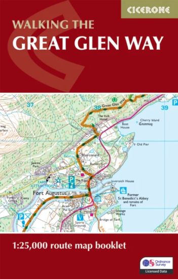
Walking the Great Glen Way Map Booklet

Walking the Great Glen Way Map Booklet

Paddy Dillon

CICERONE PRESS
2025
nidottu
A booklet of all the mapping needed to complete the Great Glen Way, one of Scotland’s Great Trails. The 120km (74 mile) route between Fort William and Inverness is suitable for those new to long-distance walking and can be completed within a week. The full route line is shown on 1:25,000 OS mapsThe map booklet can be used to walk the trail in either directionSized to easily fit in a jacket pocketThe relevant extract from the OS Explorer map legend is includedIncludes low and high-level options for two stages and an alternative route via InvergarryAn accompanying Cicerone guidebook – The Great Glen Way is also available, which includes a copy of this map booklet
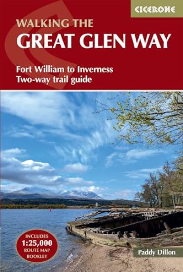
Walking the Great Glen Way

Walking the Great Glen Way

Paddy Dillon

CICERONE PRESS
2025
nidottu
A guidebook to walking the Great Glen Way, one of Scotland’s Great Trails. The 120km (74 mile) route between Fort William and Inverness is suitable for those new to long-distance walking and can be completed within a week. The route is described in both directions in 6 stages of between 12 and 31km (8–19 miles), with both low and high-level options for the central stages. Also included is an alternative route along the north shore of Loch Oich via Invergarry. Contains step-by-step description of the route alongside 1:100,000 mapsIncludes a separate map booklet containing OS 1:25,000 mapping with the route lineRefreshment and public transport information provided for each route stageHandy trek planner, route summary tables and accommodation listings help you plan your itineraryGPX files available to download
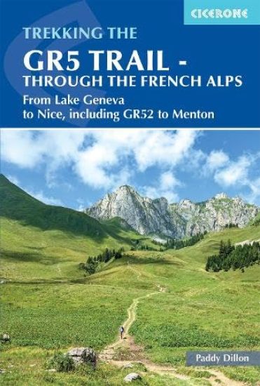
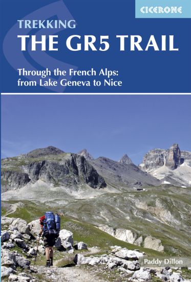
The GR5 Trail - Through the French Alps

The GR5 Trail - Through the French Alps

Paddy Dillon

CICERONE PRESS
2025
nidottu
A guidebook to trekking the GR5 from Lac Leman (Lake Geneva) through the French Alps to the Mediterranean at Nice or Menton. Covering 600km (373 miles), this long-distance trek through the Vanoise, Queyras and Mercantour National Parks takes around 1 month to hike and is suitable for alpine trekkers with a good fitness level. The route is described from north to south in 28 stages, each between 15 and 29km (9–18 miles) in length. The route is divided into 6 sections with transport options given for those wanting to break the route into shorter sections. The GR55 and GR5E variants are included through the Vanoise region and the optional finish taking the GR52 to Menton is also described. 1:100,000 maps and profiles included for each stage GPX files available to download Handy route summary tables and accommodation listings help you plan your itinerary Refreshment and facilities information given for each trek stagePart of a 3-volume set, accompanying Cicerone guidebooks The GR5 Trail - Vosges and Jura and The GR5 Trail - Benelux and Lorraine are also available
Walking the Pennine Way Map Booklet

Walking the Pennine Way Map Booklet

Paddy Dillon

CICERONE PRESS
2025
nidottu
A booklet of all the mapping needed to complete the Pennine Way, England’s toughest National Trail. Suited to fit experienced walkers, the 426km (265 mile) route from Edale to Kirk Yetholm follows northern England’s mountainous spine, passing through three national parks: the Peak District, the Yorkshire Dales and Northumberland. The full route line is shown on 1:25,000 OS mapsThe map booklet can be used to walk the trail in either directionSized to easily fit in a jacket pocketThe relevant extract from the OS Explorer map legend is includedAn accompanying Cicerone guidebook – The Pennine Way is also available, which includes a copy of this map booklet
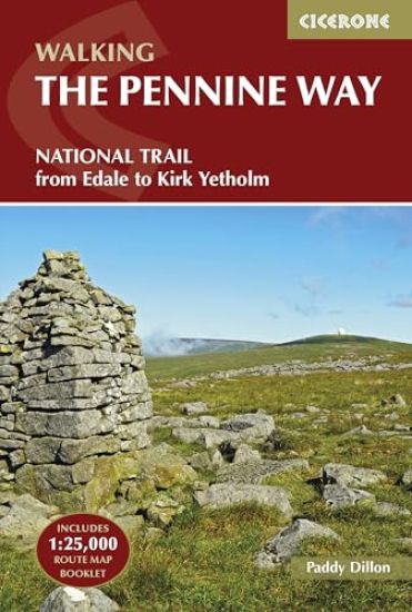
Walking the Pennine Way

Walking the Pennine Way

Paddy Dillon

CICERONE PRESS
2025
nidottu
A guidebook to walking the Pennine Way, England’s toughest National Trail. Suited to fit experienced walkers, the 426km (265 mile) route from Edale to Kirk Yetholm follows northern England’s mountainous spine, passing through three national parks: the Peak District, the Yorkshire Dales and Northumberland. The route is described from south to north in 20 stages of between 11 and 32km (7–20 miles). Contains step-by-step description of the route alongside 1:100,000 maps and elevation profilesIncludes a separate map booklet containing OS 1:25,000 mapping with the route lineRoute summary table and trek planner showing the distribution of facilities and public transport along the route Accommodation listings GPX files available for free download
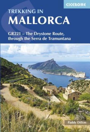
Trekking in Mallorca

Trekking in Mallorca

Paddy Dillon

CICERONE PRESS
2025
nidottu
A guidebook to trekking the GR221 – also known as the Drystone Route – through the spectacular mountains of Mallorca’s Serra de Tramuntana. Best suited to those with some experience of long-distance walking, the route is mostly on clear paths and tracks, but some of these can be rough underfoot, and occasionally steep, and some sections require careful route-finding. The main route extends 141km (88 miles) from Port d’Andratx to Pollença and is described in 10 detailed stages of between 9 and 20km (5–12 miles). Also included are alternative starts from s’Arracó, es Capdellà and Calvià, and alternative finishes to Cala Tuent, Alaró, Orient, Caimari and Port de Pollença. 1:25,000 Alpina mapping for each stageExtensive information on public transport, accommodation and refreshments, including accommodation listingsOptional detours to climb neighbouring peaksAdvice on preparation and planningHistory, plants and wildlife and local points of interest
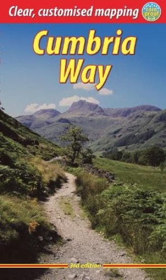
Cumbria Way

Cumbria Way

Paddy Dillon

RUCKSACK READERS
2025
nidottu
This third edition guidebook to the Cumbria Way has route updates made in 2025, new photos and mapping at 1:60,000. The Way runs for 73 miles northward across the Lake District, starting from Ulverston, passing through unspoiled dales with stone-built farms, skirting around charming lakes and running beneath rugged fells. Busy tourist centres such as Ulverston, Coniston and Keswick contrast with woodland, wild fellside, high passes and remote moorlands. The Way passes over the summit of High Pike with panoramic views, and descends to the historic border city of Carlisle.
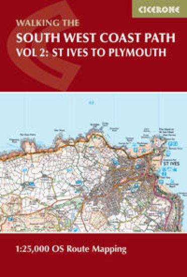
South West Coast Path Map Booklet - Vol 2: St Ives to Plymouth
A booklet of the mapping needed to walk the western section of the 1015km (630 mile) South West Coast Path National Trail between St Ives and Plymouth. The full route is shown on 1:25,000 OS maps The map booklet can be used to walk the trail in either direction Sized to easily fit in a jacket pocket or rucksack The relevant extract from the OS Explorer map legend is includedPart of a 3-volume map booklet series of the entire trailAn accompanying Cicerone guidebook – Walking the South West Coast Path is also available
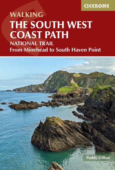
Walking the South West Coast Path

Walking the South West Coast Path

Paddy Dillon

CICERONE PRESS
2025
nidottu
A guidebook to walking the South West Coast Path, a long-distance National Trail from Minehead to Poole, along the north Devon, Cornish, south Devon and Dorset coastline. Covering 1015km (630 miles), this epic route takes in Exmoor National Park and the Jurassic Coast World Heritage Site and takes around 4 weeks to walk. The route is described in 45 stages between 13 and 38km (8–24 miles) in length. Also described is the 17-mile South Dorset Ridgeway, from West Bexington to Osmington Mills, which can be used as a scenic way to shave 42 miles off the total distance. 1:50,000 OS maps for each stageGPX files available to downloadDetailed information about accommodation, refreshments and facilities along the routeAdvice on planning and preparation
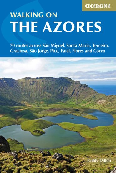
Walking on the Azores

Walking on the Azores

Paddy Dillon

CICERONE PRESS
2025
nidottu
A guidebook to 70 day walks on the Azores. Exploring the varied scenery of all nine islands of this remote Atlantic archipelago, the walks are suitable for beginner and experienced walkers alike. Walks range from 4 to 25km (2–16 miles) and can be enjoyed in 2–8 hours. The routes cover the three island groups: the Eastern Group (São Miguel and Santa Maria), Central Group (Terceira, Graciosa, São Jorge, Pico and Faial) and Western Group (Flores and Corvo). 1:50,000 maps are included for each walkGPX files available to downloadDetailed information on planning, facilities and public transportHighlights include an ascent of Pico, Portugal’s highest mountainIncludes sections of the multi-day GR1 route
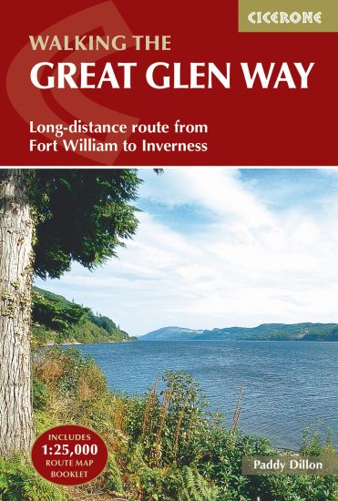
The Great Glen Way

The Great Glen Way

Paddy Dillon

CICERONE PRESS
2024
nidottu
A guidebook to walking the Great Glen Way, one of Scotland’s Great Trails. The 120km (74 mile) route between Fort William and Inverness is suitable for those new to long-distance walking and can be completed within a week. The route is described in both directions in 6 stages of between 12 and 31km (8–19 miles), with both low and high-level options for the central stages. Also included is an alternative route along the north shore of Loch Oich via Invergarry. Contains step-by-step description of the route alongside 1:100,000 mapsIncludes a separate map booklet containing OS 1:25,000 mapping with the route lineRefreshment and public transport information provided for each route stageHandy trek planner, route summary tables and accommodation listings help you plan your itineraryGPX files available to download
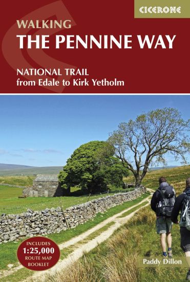
The Pennine Way

The Pennine Way

Paddy Dillon

CICERONE PRESS
2024
nidottu
A guidebook to walking the Pennine Way, England’s toughest National Trail. Suited to fit experienced walkers, the 427km (265 mile) route from Edale to Kirk Yetholm follows northern England’s mountainous spine, passing through three national parks: the Peak District, the Yorkshire Dales and Northumberland. The route is described from south to north in 20 stages of between 11 and 32km (7–20 miles). Contains step-by-step description of the route alongside 1:100,000 maps and elevation profilesIncludes a separate map booklet containing OS 1:25,000 mapping with the route lineRoute summary table and trek planner showing the distribution of facilities and public transport along the route Accommodation listings GPX files available for free download
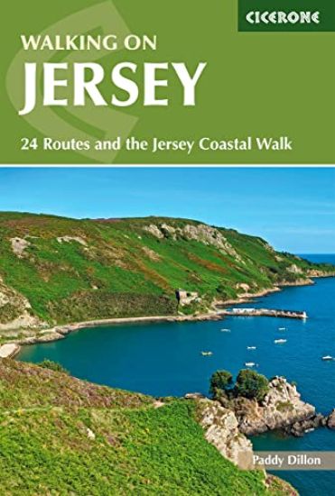
Walking on Jersey

Walking on Jersey

Paddy Dillon

CICERONE PRESS
2024
pokkari
Guidebook describing 24 day walks on Jersey in the Channel Isles. Parts of many routes can be combined to make longer ones, including the 48 mile Jersey Coastal Walk and part of the Channel Islands Way. Walks are between 3 and 8 miles, mainly on good paths and tracks, although occasionally rugged cliff paths explore the beautiful coastline.
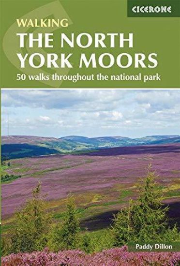
North York Moors

North York Moors

Paddy Dillon

CICERONE PRESS
2024
pokkari
Guidebook describing 50 varied walks in England's beautiful North York Moors National Park. Showcasing the region's sweeping moorlands, sheltered valleys, woodlands and cliff coasts, routes range from short and easy low-level walks to long and strenuous routes across the high moors, including the Lyke Wake Walk.
The GR5 Trail

The GR5 Trail

Paddy Dillon

Cicerone Press
2024
nidottu
A guidebook to trekking the southern section of the GR5 trail between Lac Leman (Lake Geneva) and either Nice or Menton. Covering 674km (420 miles), this long-distance trek through the French Alps can be walked in 1 month and is suitable for moderately experienced hikers. The route is described from north to south in 32 stages, each between 11 and 31km (7–19 miles) in length. Variant routes such as the GR55 through the Vanoise National Park and the GR52 through the Mercantour National Park finishing at Menton are also detailed. 1:100,000 maps included for each stageDetailed information about accommodation, facilities and public transport along the routeA south–north route summary table is also provided for those wanting to walk in the opposite directionPart of a 3-volume set, accompanying Cicerone guidebooks The GR5 Trail - Vosges and Jura and The GR5 Trail - Benelux and Lorraine are also available
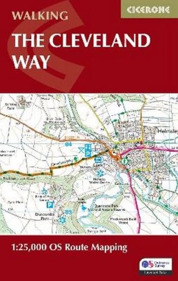
The Cleveland Way Map Booklet

The Cleveland Way Map Booklet

Paddy Dillon

CICERONE PRESS
2024
nidottu
A booklet of all the mapping needed to complete the Cleveland Way National Trail between Helmsley and Filey. Covering 117km (110 miles) around the North York Moors National Park this straightforward hike takes around 1 week to walk. The full route line is shown on 1:25K OS mapsThe map booklet can be used to walk the trail in either directionSized to easily fit in a jacket pocketThe relevant extract from the OS Explorer map legend is includedAn accompanying Cicerone guidebook – Walking the Cleveland Way and Yorkshire Wolds Way is also available, which includes a copy of this map booklet
Walking the Wales Coast Path

Walking the Wales Coast Path

Paddy Dillon

CICERONE PRESS
2024
nidottu
A guidebook to walking the Wales Coast Path (Llwybr Arfordir Cymru) between Chester and Chepstow. Covering 1398km (869 miles), this long-distance trek passing through two national parks, Snowdonia (Eryri) and the Pembrokeshire Coast, takes around 2–3 months to hike. The route is described from north to south in 57 stages between 16 and 30km (10–19 miles) in length. The stages are presented in 9 sections so the route can be easily broken down into shorter sections or day walks. 1:100,000 maps included for each stageGPX files available to downloadHandy facilities table helps you plan your itineraryDetailed information on public transport, refreshments and accommodation for each stageAdvice on planning and preparation