
Kirjailija
Philip Parker
Kirjat ja teokset yhdessä paikassa: 35 kirjaa, julkaisuja vuosilta 1995-2026, suosituimpien joukossa Das alte Griechenland. Vertaile teosten hintoja ja tarkista saatavuus suomalaisista kirjakaupoista.
35 kirjaa
Kirjojen julkaisuhaarukka 1995-2026.

Das alte Griechenland
Tony Allan; Michael Kerrigan; Philip Parker
Dorling Kindersley Verlag
2026
sidottu
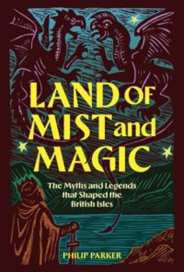
Britain is a land steeped in legend. From the Scottish Islands to the valleys of Wales, or the coves and inlets of Cornwall, scarcely a hillock, spring or churchyard is without its own story of mythical creatures, magical adventures or glimpses into another world. Land of Mist and Magic collects and retells these stories of ghosts, fairy changelings and demon dogs deeply embedded in the landscape, together with those of more familiar heroes such as King Arthur, Beowulf and Robin Hood, that lie at the very threshold of recorded history. With introductory sections setting out the historical background and origin of the myths, the book is composed of beautiful retellings of the stories, illustrated from the British Library's unparalleled collection of manuscripts and printed books. Visually stunning and packed with stirring and surprising tales, Land of Mist and Magic is a treasure-house of the stories that shaped our nation.
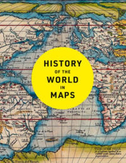
Every map tells a story and this book tells the incredible history of our world through maps. From Babylonian tablets to digital mapping, the world has evolved rapidly, along with the ways in which we understand and depict it. In this time, cartography has not only kept pace with these changes, but has often driven them. In this fully revised and updated edition spanning more than 4,500 years, each individual map provides a unique visual insight into our past. This beautifully designed collection includes many famous examples of cartography, along with some that deserve to be better known. Witness countries and cities come and go, empires rise and fall, significant geographical discoveries, and key historical events unfold. Key maps shown include: Babylonian clay tablets, c.2300 BC and c.600 BC – some of the world’s oldest surviving mapsHereford Mappa Mundi, c. 1290 – medieval map of the worldAztec City Maps 1524/1541 – precious images of the Aztec capital and their migrations before the Spanish cameCook Chart of New Zealand, 1770 – the first complete chart of the coastline showing that New Zealand was made up of two islandsSelden Map of China, c. 1620 – Ming map of China and South-east AsiaThe Scramble for Africa, 1852/1898 – the European powers rush to colonise AfricaBooth Poverty Map, 1898 – mapping deprivation in Victorian LondonYpres, 1918 – mapping the deaths in one of the First World War’s bloodiest battlesCuban Missile Crisis, 1962 – map used by President John F. Kennedy during the crisisCOVID map, 2021 – a map of the Global Pandemic

The History of Everywhere: All the Stuff That You Never Knew Happened at the Same Time
Philip Parker
WALKER BOOKS LTD
2025
nidottu
Discover history as you've never seen it before – and all the stuff you never knew happened at the same time!Did you know the woolly mammoths were still around when the Egyptians built their pyramids? Or that Leonardo Da Vinci lived at the same time as Henry VIII and the Aztecs? Welcome to The History of Everywhere, a fascinating guide to all the stuff you never knew happened at the same time! In lively maps, see the whole world of history: from ancient times to the modern day, watch civilizations rise and fall, spot fascinating connections and coincidences, and discover the people and events you never learnt about in school. Prepare for a fascinating journey around the world that will change the way you see history!
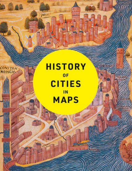
A fascinating cartographic study of urban development, perfect for map and history lovers. The city, a concept nearly as old as history itself, is a paradox of human innovation and intervention, order and conflict. From ancient civilisations to modern-day metropolises, maps have played a crucial role in urban progress. This book explores the development of cities through more than 70 captivating maps. Each map in this beautifully designed volume gives a unique visual representation of and historical context to the city it surveys. Spanning more than 4,500 years, this book expertly curates more than 70 historical maps which tell the fascinating story of human civilisation: from cities founded on sacred places, ideas and power, to early examples of town planning and later innovations such as skyscrapers and urban transport. Featuring maps of renowned capital cities as well as lesser-known urban areas, including: Mohenjo-Daro, c. 2500 BCBabylon, c. 600 BCRome, c. 210 ADBaghdad, 762 ADConstantinople, 1422Tenochtitlan, 1524Dublin, 1610Kyoto, 1626New Amsterdam, 1660Edinburgh, 1780Adelaide, 1838Lagos, 1885Los Angeles, 1908Brasilia, 1957Chongqing, 2016Dubai, 2020





This lavishly illustrated book provides a unique insight into the evolution of mapmaking and the science behind it, from the stone age to the digital age. Britain’s leading cartographic author takes us on a historical journey through how the greatest maps were created. Exploring key cartographers and mapmaking methods, as well as fascinating interludes on subjects such as the very first maps, deliberate mistakes, and superlative maps, this comprehensive guide explores how the techniques and technology have developed throughout human history: • Evolving methods of surveying: from the Roman groma, through the naval instruments of the magnetic compass, astrolabes and sextants, to the 20th century revolution of aerial photography • Drawing tools and materials: from Babylonian maps carved in clay, to digital maps created via touchscreen • The introduction of various mapping conventions and key components of a map: from Ptolemy's introduction of longitude and latitude, through the 13th century origins of having north at the top, to the various projections used to represent the Earth. With visually stunning historic maps and antique instruments, this book will engross readers with its fascinating stories of how we came to chart our world.
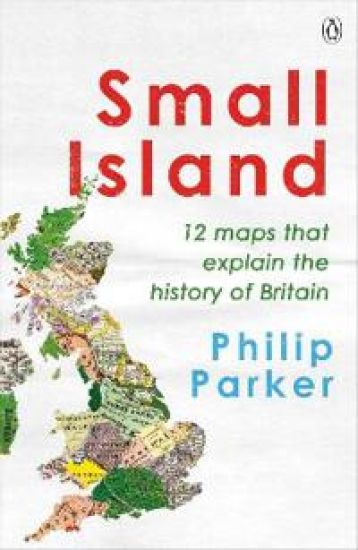
Discover the 12 crucial moments in Britain's past that will answer the greatest questions for our future in this richly insightful and fascinating history'A richly entertaining canter through the country's past. Engrossing' INDEPENDENT___________What is Britain?Where lie its boundaries?Why are they always changing?Are we a small island or a big idea?What will we look like next?In Small Island: 12 Maps that Explain the History of Britain, Philip Parker answers these and other crucial questions about this country and its peoples.By pondering our intertwined geography and history, he shows how the past has made Britain and how we might yet shape its future.
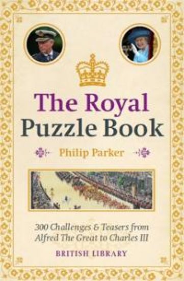
Test your knowledge of kings and queens by attempting to answer some 300 questions across 25 topics, from early kingdoms to the realms of England, Scotland and Wales and the British Royal Family of the modern era. The topics range from Coronations to Sports and Pastimes – from the first English queen crowned in her own right to the only royal to have won an Olympic Medal. Do you know which country’s national anthem uses the same music as ‘God Save the King’? Whose corpse is said to have exploded in its coffin? What was Queen Victoria’s first name? These hundreds of puzzles are accompanied by a wealth of illustrations from the collections of the British Library. Accept the challenge and see how much more you can learn.
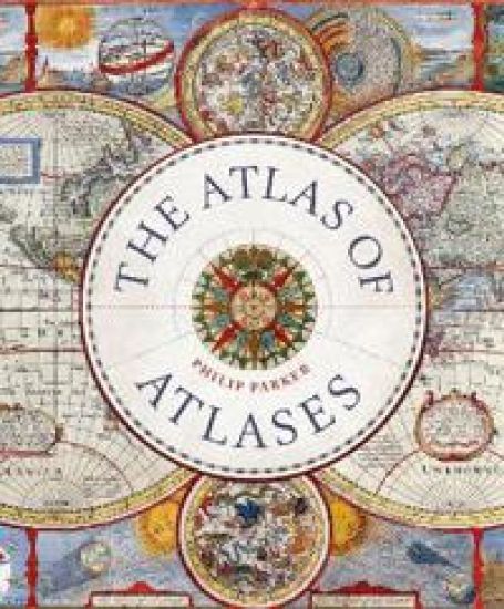
This beautiful book is a lavishly illustrated look at the most important atlases in history and the cartographers who made them. Atlases are books that changed the course of history. Pored over by rulers, explorers and adventures these books were used to build empires, wage wars, encourage diplomacy and nurture trade. Written by Philip Parker, an authority on the history of maps, this book brings these fascinating artefacts to life, offering a unique, lavishly illustrated guide to the history of these incredible books and the cartographers behind them. All key cartographic works from the last half-millennium are covered, including: The Theatrum Orbis Terrarum, considered the world’s first atlas and produced in 1570 by the Dutch, geographer Abraham Ortelius. The 17th-century Klencke – one of the world’s largest books that requires 6 people to carry it The Rand McNally Atlas of 1881, still in print today and a book that turned its makers, William H Rand and Andrew McNally into cartographic royalty. This beautiful book will engross readers with its detailed, visually stunning illustrations and fascinating story of how map-making has developed throughout human history.


A spectacular, puzzle-fuelled, myth-busting journey through the hidden history of Britain in 500 questions. Britain's history is one of the richest and most complex in Europe. From the first Stone Age settlers, through the Roman occupation, the waves of Germanic and Viking invaders, the wars of the Middle Ages, the consolidation of the United Kingdom, the British Empire, the two World Wars and today's post- industrial country, its development is filled with well-known highpoints and lesser-known byways. The British History Puzzle Book poses fascinating and fiendish questions which will test your knowledge of the nation's history to the limit and reveal a treasure trove of astonishing facts. Illustrated with beautiful images from the British Library's collection, The British History Puzzle Book will provide hours of entertainment and delight readers with questions for history novices to experts alike. So if you've ever wondered where cricket was invented, how many husbands the reigning queens of England have had, or who the first recorded tourist to visit Britain was, then The British History Puzzle Book will provide all the answers.
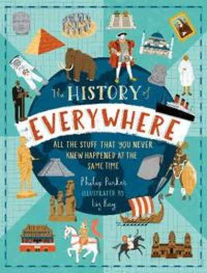
The History of Everywhere: All the Stuff That You Never Knew Happened at the Same Time
Philip Parker
Walker Books Ltd
2021
sidottu
Discover history as you've never seen it before – and all the stuff you never knew happened at the same time!Did you know the woolly mammoths were still around when the Egyptians built their pyramids? Or that Leonardo Da Vinci lived at the same time as Henry VIII and the Aztecs? Welcome to The History of Everywhere, a fascinating guide to all the stuff you never knew happened at the same time! In lively maps, see the whole world of history: from ancient times to the modern day, watch civilizations rise and fall, spot fascinating connections and coincidences, and discover the people and events you never learnt about in school. Prepare for a fascinating journey around the world that will change the way you see history!
A beautful book for anyone interested in exploring the history of trade in maps. Trade is the lifeblood of nations. It has provided vital goods and wealth to countries and merchants from the ancient Egyptians who went in search of gold and ivory to their 21st-century equivalents trading high-tech electronic equipment from the Far East. In this beautiful book, more than 70 maps give a visual representation of the history of World Commerce, accompanied by text which tells the extraordinary story of the merchants, adventurers, middle-men and monarchs who bought, sold, explored and fought in search of profit and power. The maps are all works of art, witnesses to history, and have a fascinating story to tell. The maps include• Çatalhöyük Plan, c. 6200BC• Babylonian Map of the World, c. 600BC• Stone Map of China, 1136• Hereford Mappa Mundi, c. 1300• Buondelmonti Map of Constantinople, c. 1420• The Waldseemüller Map, 1507• James Rennell Map of Hindoostan, 1782• Air Age Map, 1945• Johns Hopkins Covid-19 Dashboard, 2020
The British Library Magnificent Maps Puzzle Book
Philip Parker
British Library Publishing
2019
nidottu
The Library has one of the largest and most impressive cartographic collections in the world, including manuscript maps and atlases, administrative records and plans, largescale surveys and digital maps. From this rich resource, 100 fascinating examples have been selected as the basis for this puzzle book.