Kirjojen hintavertailu. Mukana 12 595 353 kirjaa ja 12 kauppaa.

Kirjailija

Richard E. Plant

Kirjat ja teokset yhdessä paikassa: 4 kirjaa, julkaisuja vuosilta 2018-2026, suosituimpien joukossa Spatial Data Analysis in Ecology and Agriculture Using R. Vertaile teosten hintoja ja tarkista saatavuus suomalaisista kirjakaupoista.

4 kirjaa

Kirjojen julkaisuhaarukka 2018-2026.

Spatial Data Analysis in Ecology and Agriculture Using R
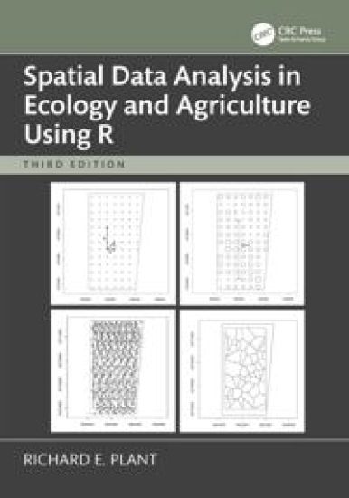
Since the publication of the second edition of Richard Plant’s bestselling textbook Spatial Data Analysis in Ecology and Agriculture Using R, the methodology of spatial data analysis and the suite of R tools for carrying out this analysis have evolved dramatically. This third edition thus explores both the leading software tools for the analysis of vector and raster data; the first based on sf and associated libraries, the second based on the terra package as it has evolved out of the earlier raster package. Further, within the methodology of spatial data analysis, the set of methods available has significantly expanded. This book adds several of the most popular and useful, including machine learning methods in spatial data analysis, the use of simulation methods in spatial data analysis, and a new chapter on the analysis of remotely sensed data. These methods are critically compared in the context of addressing the particular goals of the research project. The book’s practical coverage of spatial statistics, real-world examples, and user-friendly approach make this an essential textbook for ecology and agriculture graduate students. Using data sets from cultivated and uncultivated ecosystems, the book guides the reader through the analysis, including setting research objectives, designing the sampling plan, data quality control, exploratory and confirmatory data analysis, and drawing scientific conclusions. Additional material to accompany the book, including a review of mathematical concepts, the full data sets, and a brief introduction to geographic coordinate systems, can be accessed via the Instructor Resources link on www.routledge.com.
Spatial Data Analysis in Ecology and Agriculture Using R
Since the publication of the second edition of Richard Plant’s bestselling textbook Spatial Data Analysis in Ecology and Agriculture Using R, the methodology of spatial data analysis and the suite of R tools for carrying out this analysis have evolved dramatically. This third edition thus explores both the leading software tools for the analysis of vector and raster data; the first based on sf and associated libraries, the second based on the terra package as it has evolved out of the earlier raster package. Further, within the methodology of spatial data analysis, the set of methods available has significantly expanded. This book adds several of the most popular and useful, including machine learning methods in spatial data analysis, the use of simulation methods in spatial data analysis, and a new chapter on the analysis of remotely sensed data. These methods are critically compared in the context of addressing the particular goals of the research project. The book’s practical coverage of spatial statistics, real-world examples, and user-friendly approach make this an essential textbook for ecology and agriculture graduate students. Using data sets from cultivated and uncultivated ecosystems, the book guides the reader through the analysis, including setting research objectives, designing the sampling plan, data quality control, exploratory and confirmatory data analysis, and drawing scientific conclusions. Additional material to accompany the book, including a review of mathematical concepts, the full data sets, and a brief introduction to geographic coordinate systems, can be accessed via the Instructor Resources link on www.routledge.com.
Spatial Data Analysis in Ecology and Agriculture Using R
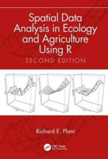
Key features:Unique in its combination of serving as an introduction to spatial statistics and to modeling agricultural and ecological data using RProvides exercises in each chapter to facilitate the book's use as a course textbook or for self-studyAdds new material on generalized additive models, point pattern analysis, and new methods of Bayesian analysis of spatial data.Includes a completely revised chapter on the analysis of spatiotemporal data featuring recently introduced software and methods Updates its coverage of R software including newly introduced packages Spatial Data Analysis in Ecology and Agriculture Using R, 2nd Edition provides practical instruction on the use of the R programming language to analyze spatial data arising from research in ecology, agriculture, and environmental science. Readers have praised the book's practical coverage of spatial statistics, real-world examples, and user-friendly approach in presenting and explaining R code, aspects maintained in this update. Using data sets from cultivated and uncultivated ecosystems, the book guides the reader through the analysis of each data set, including setting research objectives, designing the sampling plan, data quality control, exploratory and confirmatory data analysis, and drawing scientific conclusions. Additional material to accompany the book, on both analyzing satellite data and on multivariate analysis, can be accessed at https://www.plantsciences.ucdavis.edu/plant/additionaltopics.htm.
Spatial Data Analysis in Ecology and Agriculture Using R
Key features:Unique in its combination of serving as an introduction to spatial statistics and to modeling agricultural and ecological data using RProvides exercises in each chapter to facilitate the book's use as a course textbook or for self-studyAdds new material on generalized additive models, point pattern analysis, and new methods of Bayesian analysis of spatial data.Includes a completely revised chapter on the analysis of spatiotemporal data featuring recently introduced software and methods Updates its coverage of R software including newly introduced packages Spatial Data Analysis in Ecology and Agriculture Using R, 2nd Edition provides practical instruction on the use of the R programming language to analyze spatial data arising from research in ecology, agriculture, and environmental science. Readers have praised the book's practical coverage of spatial statistics, real-world examples, and user-friendly approach in presenting and explaining R code, aspects maintained in this update. Using data sets from cultivated and uncultivated ecosystems, the book guides the reader through the analysis of each data set, including setting research objectives, designing the sampling plan, data quality control, exploratory and confirmatory data analysis, and drawing scientific conclusions. Additional material to accompany the book, on both analyzing satellite data and on multivariate analysis, can be accessed at https://www.plantsciences.ucdavis.edu/plant/additionaltopics.htm.