Kirjojen hintavertailu. Mukana 12 595 353 kirjaa ja 12 kauppaa.

Kirjailija

Sanjit Debnath

Kirjat ja teokset yhdessä paikassa: 2 kirjaa, julkaisuja vuosilta 2019-2021, suosituimpien joukossa Groundwater Vulnerability Assessment and Mapping using DRASTIC Model. Vertaile teosten hintoja ja tarkista saatavuus suomalaisista kirjakaupoista.

2 kirjaa

Kirjojen julkaisuhaarukka 2019-2021.

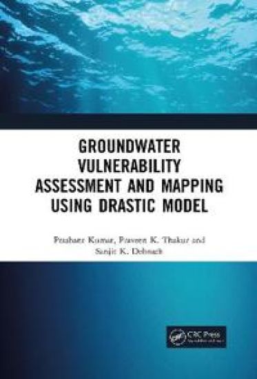
Groundwater Vulnerability Assessment and Mapping using DRASTIC Model

Groundwater Vulnerability Assessment and Mapping using DRASTIC Model

Prashant Kumar; Praveen Thakur; Sanjit Debnath

Taylor Francis Ltd
2021
nidottu
This book shows the effectiveness of DRASTIC model in a geographical setting for validation of vulnerable zones and presents the optimization of parameters for the development of precise maps highlighting several zones with varied contamination. Impact of vadose zone has also been assessed by considering every sub-surface layer.Exclusive title covering effectiveness of DRASTIC model for groundwater vulnerability assessmentReviews of the strengths and limitations of assessment methods Presents multi-criteria evaluation of hydro-geological and anthropogenic factors Discusses integration with geographic information system (GIS) and remote sensing (RS) Includes application of groundwater governance framework with a case study study of a geographical setting
Groundwater Vulnerability Assessment and Mapping using DRASTIC Model

Groundwater Vulnerability Assessment and Mapping using DRASTIC Model

Prashant Kumar; Praveen Thakur; Sanjit Debnath

CRC Press
2019
sidottu
This book shows the effectiveness of DRASTIC model in a geographical setting for validation of vulnerable zones and presents the optimization of parameters for the development of precise maps highlighting several zones with varied contamination. Impact of vadose zone has also been assessed by considering every sub-surface layer.Exclusive title covering effectiveness of DRASTIC model for groundwater vulnerability assessmentReviews of the strengths and limitations of assessment methods Presents multi-criteria evaluation of hydro-geological and anthropogenic factors Discusses integration with geographic information system (GIS) and remote sensing (RS) Includes application of groundwater governance framework with a case study study of a geographical setting