Kirjojen hintavertailu. Mukana 12 595 353 kirjaa ja 12 kauppaa.

Kirjailija

Stefan Dech

Kirjat ja teokset yhdessä paikassa: 3 kirjaa, julkaisuja vuosilta 2005-2020, suosituimpien joukossa An Introduction to Spatial Data Analysis. Vertaile teosten hintoja ja tarkista saatavuus suomalaisista kirjakaupoista.

3 kirjaa

Kirjojen julkaisuhaarukka 2005-2020.

An Introduction to Spatial Data Analysis

An Introduction to Spatial Data Analysis

Martin Wegmann; Jakob Schwalb-Willmann; Stefan Dech

Pelagic Publishing
2020
nidottu
This is a book about how ecologists can integrate remote sensing and GIS in their research. It will allow readers to get started with the application of remote sensing and to understand its potential and limitations. Using practical examples, the book covers all necessary steps from planning field campaigns to deriving ecologically relevant information through remote sensing and modelling of species distributions. An Introduction to Spatial Data Analysis introduces spatial data handling using the open source software Quantum GIS (QGIS). In addition, readers will be guided through their first steps in the R programming language. The authors explain the fundamentals of spatial data handling and analysis, empowering the reader to turn data acquired in the field into actual spatial data. Readers will learn to process and analyse spatial data of different types and interpret the data and results. After finishing this book, readers will be able to address questions such as “What is the distance to the border of the protected area?”, “Which points are located close to a road?”, “Which fraction of land cover types exist in my study area?” using different software and techniques. This book is for novice spatial data users and does not assume any prior knowledge of spatial data itself or practical experience working with such data sets. Readers will likely include student and professional ecologists, geographers and any environmental scientists or practitioners who need to collect, visualize and analyse spatial data. The software used is the widely applied open source scientific programs QGIS and R. All scripts and data sets used in the book will be provided online at book.ecosens.org. This book covers specific methods including: what to consider before collecting in situ datahow to work with spatial data collected in situthe difference between raster and vector datahow to acquire further vector and raster datahow to create relevant environmental informationhow to combine and analyse in situ and remote sensing datahow to create useful maps for field work and presentationshow to use QGIS and R for spatial analysishow to develop analysis scripts
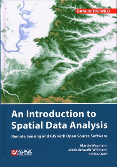
An Introduction to Spatial Data Analysis

An Introduction to Spatial Data Analysis

Martin Wegmann; Jakob Schwalb-Willmann; Stefan Dech

Pelagic Publishing
2020
sidottu
This is a book about how ecologists can integrate remote sensing and GIS in their research. It will allow readers to get started with the application of remote sensing and to understand its potential and limitations. Using practical examples, the book covers all necessary steps from planning field campaigns to deriving ecologically relevant information through remote sensing and modelling of species distributions. An Introduction to Spatial Data Analysis introduces spatial data handling using the open source software Quantum GIS (QGIS). In addition, readers will be guided through their first steps in the R programming language. The authors explain the fundamentals of spatial data handling and analysis, empowering the reader to turn data acquired in the field into actual spatial data. Readers will learn to process and analyse spatial data of different types and interpret the data and results. After finishing this book, readers will be able to address questions such as “What is the distance to the border of the protected area?”, “Which points are located close to a road?”, “Which fraction of land cover types exist in my study area?” using different software and techniques. This book is for novice spatial data users and does not assume any prior knowledge of spatial data itself or practical experience working with such data sets. Readers will likely include student and professional ecologists, geographers and any environmental scientists or practitioners who need to collect, visualize and analyse spatial data. The software used is the widely applied open source scientific programs QGIS and R. All scripts and data sets used in the book will be provided online at book.ecosens.org. This book covers specific methods including: what to consider before collecting in situ datahow to work with spatial data collected in situthe difference between raster and vector datahow to acquire further vector and raster datahow to create relevant environmental informationhow to combine and analyse in situ and remote sensing datahow to create useful maps for field work and presentationshow to use QGIS and R for spatial analysishow to develop analysis scripts
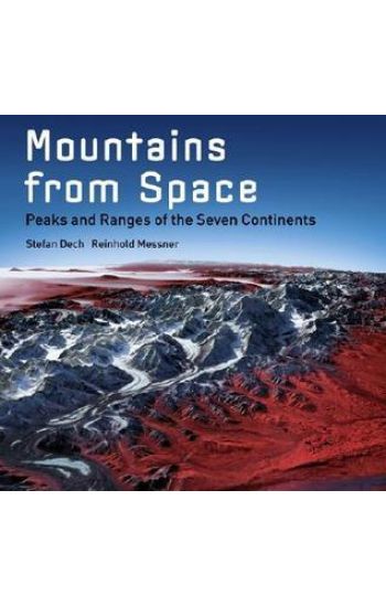
Mountains from Space

Mountains from Space

Stefan Dech; Reinhold Messner; Rudiger Glaser

Abrams
2005
sidottu
Using highly specialized, advanced digital satellite imaging—first made possible in the year 2000 with the Shuttle Radar Topography Mission—this book presents an astounding collection of images of the Earth’s mountain ranges carefully compiled over the course of five years by the German Remote Sensing Data Center. Now available to the public for the first time here, the most majestic peaks on all seven continents are visible as they never would be to the naked eye—in views taken from 500 to 15 miles above the Earth that reveal the entire mountain range at once, unobstructed by clouds, haze, and the refraction of light.Mountains from Space is much more than a collection of extraordinary pictures; it is a serious work of nonfiction about every important aspect of these fascinating geological formations, from their genesis by volcanic activity to their specific sociological features. Contributions by esteemed scientists and mountaineers alike highlight this provocative study of our planet Earth.